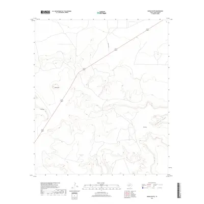
2019 Map of Saddle Butte
USGS Topo · Published 2019About this map
Saddle Butte rises above the West Texas landscape, serving as a prominent landmark in this segment of Pecos County. The terrain is defined by dramatic elevation changes, notably at East Mesa and Big Mesa, which flank the winding course of Livingston Canyon. Human presence is sparse, marked primarily by the diagonal transit of highways 67 385 and local paths such as Dagger Draw Rd. Water management in this arid environment is highlighted by the inclusion of Doodlebug Tank, a critical resource for livestock and local wildlife. This 2019 survey documents a landscape of high desert plateau and deep canyons that remains largely unchanged by modern development.
Find a feature on this map
7 named features on this map. Tap any name to fly to it.
Don’t see what you’re looking for? This feature index may not catch every label — zoom into the map to look around manually.
Map Details
Editions of this 2019 Saddle Butte Map
This is the sole edition of this map. No revisions or reprints were ever made.
Other maps of this area

1928 · Crane
USGS Topo · 1:125,000

1928 · Comanche Spring
USGS Topo · 1:125,000

1929 · Independence Draw Quadrangle
USGS Topo · 1:125,000

1954 · Pecos
USGS Topo · 1:250,000

1954 · Fort Stockton
USGS Topo · 1:250,000

1957 · Pecos
USGS Topo · 1:250,000

1958 · Fort Stockton
USGS Topo · 1:250,000

1969 · Bootleg Canyon
USGS Topo · 1:24,000

1969 · Skyscraper Peak
USGS Topo · 1:24,000

1970 · East Mesa
USGS Topo · 1:24,000