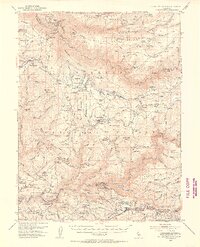
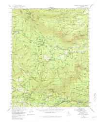
1950 Map of Saddle Mountain
USGS Topo · Published 1955About this map
The Michigan-California Lumber Co RR winds through this rugged Sierra Nevada landscape, illustrating the industrial timber operations central to the region in the mid-twentieth century. Settlement is concentrated in small ranching and lumbering outposts such as Pollock Pines, Quintette, and Lynchburg Hill. The map meticulously tracks the infrastructure of the Eldorado National Forest, where the El Dorado Power House and various gaging stations along the South Fork American River highlight the era's focus on hydroelectric power and water management.
Find a feature on this map
121 named features on this map. Tap any name to fly to it.
Don’t see what you’re looking for? This feature index may not catch every label — zoom into the map to look around manually.
Map Details
Editions of this 1950 Saddle Mountain Map
5 editions found
Other maps of this area

1889 · Pyramid Peak
USGS Topo · 1:125,000

1891 · Colfax
USGS Topo · 1:125,000

1891 · Truckee
USGS Topo · 1:125,000

1891 · Placerville
USGS Topo · 1:125,000

1891 · Pyramid Peak
USGS Topo · 1:125,000

1892 · Placerville
USGS Topo · 1:125,000

1892 · Colfax
USGS Topo · 1:125,000

1893 · Placerville
USGS Topo · 1:125,000

1893 · Truckee
USGS Topo · 1:125,000

1894 · Colfax
USGS Topo · 1:125,000