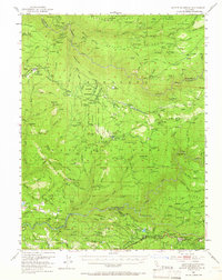
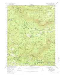
1950 Map of Saddle Mountain
USGS Topo · Published 1966About this map
Eldorado National Forest defines this mid-century landscape, where industrial timber and mining operations intersect with high Sierra terrain. A complex network of transport is visible, from the Logging Railroad servicing Pino Grande to the Dismantled Railroad tracing the ridges. This era captures the transition of the Georgetown Divide as earlier extraction sites like Kenny Mine and Bootjack Mine gave way to more modern infrastructure, including the El Dorado Power House on the South Fork American River.
Find a feature on this map
157 named features on this map. Tap any name to fly to it.
Don’t see what you’re looking for? This feature index may not catch every label — zoom into the map to look around manually.
Map Details
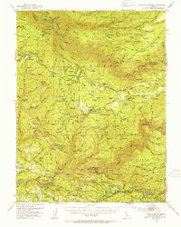
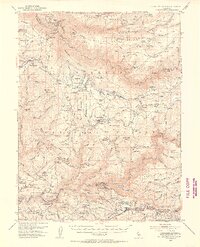
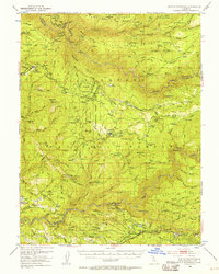
Editions of this 1950 Saddle Mountain Map
5 editions found
Other maps of this area

1889 · Pyramid Peak
USGS Topo · 1:125,000

1891 · Colfax
USGS Topo · 1:125,000

1891 · Truckee
USGS Topo · 1:125,000

1891 · Placerville
USGS Topo · 1:125,000

1891 · Pyramid Peak
USGS Topo · 1:125,000

1892 · Placerville
USGS Topo · 1:125,000

1892 · Colfax
USGS Topo · 1:125,000

1893 · Placerville
USGS Topo · 1:125,000

1893 · Truckee
USGS Topo · 1:125,000

1894 · Colfax
USGS Topo · 1:125,000