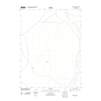
2012 Map of Sadler Basin
USGS Topo · Published 2012About this map
Sadler Basin and the northern reaches of the Diamond Hills define this high-altitude Nevada landscape in the early twenty-first century. The area is characterized by vast open terrain where water sources are critical but sparse, marked primarily by the winding course of Huntington Creek as it flows through the eastern portion of the quadrangle. The presence of Franklin Spring suggests a localized point of reliable water in an otherwise arid environment. This map captures the region's character as a crossroads of high-desert drainage and mountain foothills, where the land remains largely undeveloped, preserving the original topography and drainage patterns shaped by the basin and range geology of Elko County.
Find a feature on this map
4 named features on this map. Tap any name to fly to it.
Don’t see what you’re looking for? This feature index may not catch every label — zoom into the map to look around manually.
Map Details
Editions of this 2012 Sadler Basin Map
This is the sole edition of this map. No revisions or reprints were ever made.
Other maps of this area

1934 · Jiggs
USGS Topo · 1:125,000

1937 · Jiggs
USGS Topo · 1:125,000

1955 · Elko
USGS Topo · 1:250,000

1956 · Robinson Mtn
USGS Topo · 1:62,500

1958 · Elko
USGS Topo · 1:250,000

1959 · Jiggs
USGS Topo · 1:62,500

1959 · Railroad Pass
USGS Topo · 1:62,500

1959 · Sherman Mtn
USGS Topo · 1:62,500

1962 · Elko
USGS Topo · 1:250,000

1965 · Elko
USGS Topo · 1:250,000