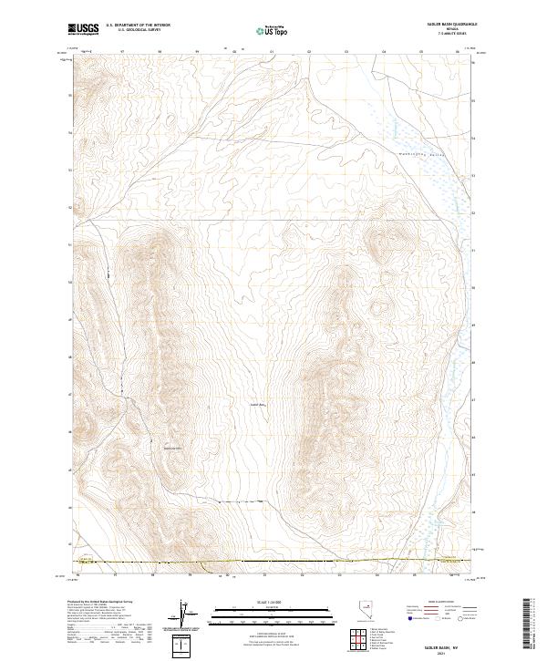
2021 Map of Sadler Basin
USGS Topo · Published 2021About this map
Sadler Basin and the Diamond Hills define the high-elevation interior of this northeastern Nevada landscape. This modern survey illustrates the intersection of three counties, where the Elko Co Eureka Co and Elko Co White Pine Co boundaries converge near the southern edge of the map. The drainage of Huntington Cr flows through the Huntington Valley to the east, providing a corridor of lower-lying wetlands and springs, such as Franklin Spring, in an otherwise arid and high-relief environment. The topography is dominated by the steep western slopes of the Diamond Hills, showing the complex land divisions of the Public Land Survey System including portions of t27n r54e and t26n r55e.
Find a feature on this map
11 named features on this map. Tap any name to fly to it.
Don’t see what you’re looking for? This feature index may not catch every label — zoom into the map to look around manually.
Map Details
Editions of this 2021 Sadler Basin Map
This is the sole edition of this map. No revisions or reprints were ever made.
Other maps of this area

1934 · Jiggs
USGS Topo · 1:125,000

1937 · Jiggs
USGS Topo · 1:125,000

1955 · Elko
USGS Topo · 1:250,000

1956 · Robinson Mtn
USGS Topo · 1:62,500

1958 · Elko
USGS Topo · 1:250,000

1959 · Jiggs
USGS Topo · 1:62,500

1959 · Railroad Pass
USGS Topo · 1:62,500

1959 · Sherman Mtn
USGS Topo · 1:62,500

1962 · Elko
USGS Topo · 1:250,000

1965 · Elko
USGS Topo · 1:250,000