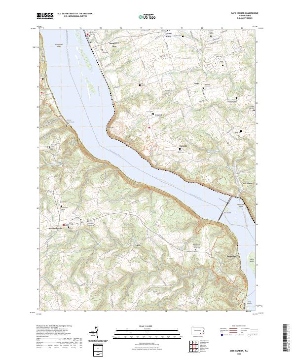
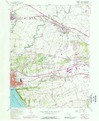
2023 Map of Safe Harbor
USGS Topo · Published 2023About this map
Washington Boro and the surrounding river bluffs overlook the wide expanse of the Susquehanna River as it passes through the Conejohela Valley. The landscape is a dense network of family heritage, marked by numerous small burial sites and homestead cemeteries such as Herr Graveyard, the Witmer Kendig Herr Cem, and Shoffs Burial Ground. These scattered landmarks reflect the deep agricultural and German sectarian roots of Lancaster County, where settlements like Central Manor and Letort grew around community meeting houses and family farms.
Find a feature on this map
99 named features on this map. Tap any name to fly to it.
Don’t see what you’re looking for? This feature index may not catch every label — zoom into the map to look around manually.
Map Details
Editions of this 2023 Safe Harbor Map
This is the sole edition of this map. No revisions or reprints were ever made.
Historical Maps of Safe Harbor Through Time
16 maps found
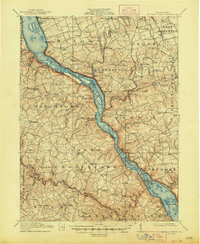
1912 Mc Calls Ferry
Lancaster County, PA
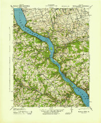
1943 McCalls Ferry
Lancaster County, PA
1955 Conestoga
Lancaster County, PA
1955 Holtwood
Lancaster County, PA
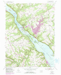
1955 Safe Harbor
Lancaster County, PA
1956 Columbia East
Lancaster County, PA
1964 Columbia West
Lancaster County, PA
1995 Columbia East
Lancaster County, PA
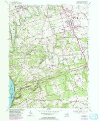
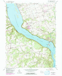
1995 Safe Harbor
Lancaster County, PA
1997 Columbia East
Lancaster County, PA
1997 Columbia West
Lancaster County, PA
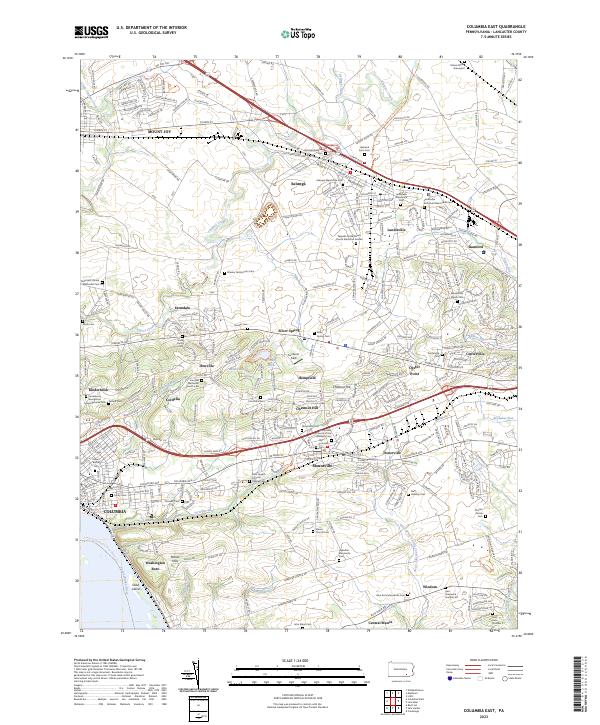
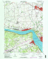
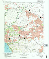
2023 Columbia East
Lancaster County, PA
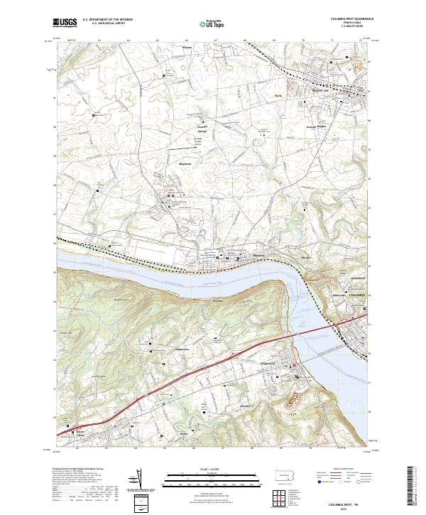
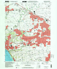
2023 Columbia West
Lancaster County, PA
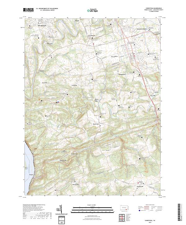
2023 Conestoga
Lancaster County, PA
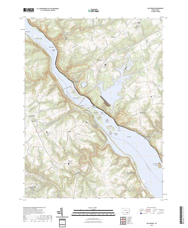
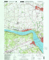
2023 Holtwood
Lancaster County, PA
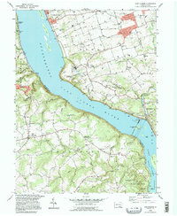
2023 Safe Harbor
Lancaster County, PA
Featured Locations
- Lower Chanceford Township, PA
- Lower Windsor Township, PA
- Conestoga Township, PA
- Safe Harbor, Conestoga Township
- Shenks Ferry, Chanceford Township