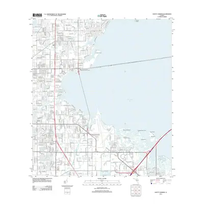
2012 Map of Safety Harbor
USGS Topo · Published 2012About this map
Sylvan Abbey Memorial Park Cem and McMullen Cem anchor the northern landscape of Pinellas County, bordering the developed residential grids that reach toward the shores of Old Tampa Bay. The area's hydrology is defined by a series of significant water bodies, including Alligator Lake and Beckett Lake, which drain toward the coast via Alligator Cr. Transportation corridors are a dominant feature, with US Highway 19 N and CSX Transportation rail lines cutting through the suburban layout.
Find a feature on this map
135 named features on this map. Tap any name to fly to it.
Don’t see what you’re looking for? This feature index may not catch every label — zoom into the map to look around manually.
Map Details
Editions of this 2012 Safety Harbor Map
This is the sole edition of this map. No revisions or reprints were ever made.
Other maps of this area

1921 · Sand Key
USGS Topo · 1:62,500

1921 · St Petersburg
USGS Topo · 1:62,500

1943 · St Petersburg
USGS Topo · 1:31,680

1943 · Gandy Bridge
USGS Topo · 1:31,680

1943 · Bay Pines
USGS Topo · 1:31,680

1943 · Safety Harbor
USGS Topo · 1:31,680

1943 · Dunedin
USGS Topo · 1:31,680

1943 · Port Tampa
USGS Topo · 1:31,680

1943 · Clearwater
USGS Topo · 1:24,000

1943 · Oldsmar
USGS Topo · 1:24,000