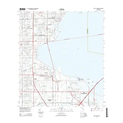
2015 Map of Safety Harbor
USGS Topo · Published 2015About this map
Safety Harbor and the eastern edge of Clearwater anchor this mid-2010s survey of the Pinellas County peninsula. The landscape is defined by its relationship with Old Tampa Bay, where tidal features like Cooper Bayou and Feather Sound meet heavily developed residential corridors. The map records a dense network of suburban expansion, stretching from Four Corners down to Pinellas Park, characterized by a grid of numbered streets and major thoroughfares such as W Courtney Campbell Cswy and Gulf-To-Bay Blvd.
Find a feature on this map
198 named features on this map. Tap any name to fly to it.
Don’t see what you’re looking for? This feature index may not catch every label — zoom into the map to look around manually.
Map Details
Editions of this 2015 Safety Harbor Map
This is the sole edition of this map. No revisions or reprints were ever made.
Other maps of this area

1921 · Sand Key
USGS Topo · 1:62,500

1921 · St Petersburg
USGS Topo · 1:62,500

1943 · St Petersburg
USGS Topo · 1:31,680

1943 · Gandy Bridge
USGS Topo · 1:31,680

1943 · Bay Pines
USGS Topo · 1:31,680

1943 · Safety Harbor
USGS Topo · 1:31,680

1943 · Dunedin
USGS Topo · 1:31,680

1943 · Port Tampa
USGS Topo · 1:31,680

1943 · Clearwater
USGS Topo · 1:24,000

1943 · Oldsmar
USGS Topo · 1:24,000