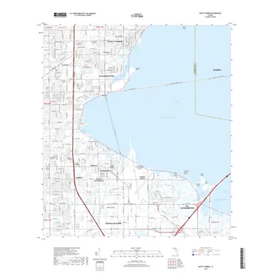
2018 Map of Safety Harbor
USGS Topo · Published 2018About this map
Old Tampa Bay dominates this coastal landscape, separating the Pinellas peninsula from the city of Tampa. The shoreline is a complex network of inlets and points, including Cooper Bayou and Feather Sound. Urban development is dense throughout Clearwater and St. Petersburg, with distinct neighborhoods such as Dellwood, Coachman, and Highpoint filling the interior. Significant infrastructure supports the region, most notably the St Pete-Clearwater International Airport situated along the bay's edge. Local history and genealogy are anchored by long-standing sites like Sylvan-Abbey Memorial Park Cem and McMullen Cem, while educational institutions like St Petersburg College and the Keiser Univ Clearwater Campus reflect the modern growth of these interconnected Gulf Coast communities.
Find a feature on this map
126 named features on this map. Tap any name to fly to it.
Don’t see what you’re looking for? This feature index may not catch every label — zoom into the map to look around manually.
Map Details
Editions of this 2018 Safety Harbor Map
This is the sole edition of this map. No revisions or reprints were ever made.
Other maps of this area

1921 · Sand Key
USGS Topo · 1:62,500

1921 · St Petersburg
USGS Topo · 1:62,500

1943 · St Petersburg
USGS Topo · 1:31,680

1943 · Gandy Bridge
USGS Topo · 1:31,680

1943 · Bay Pines
USGS Topo · 1:31,680

1943 · Safety Harbor
USGS Topo · 1:31,680

1943 · Dunedin
USGS Topo · 1:31,680

1943 · Port Tampa
USGS Topo · 1:31,680

1943 · Clearwater
USGS Topo · 1:24,000

1943 · Oldsmar
USGS Topo · 1:24,000