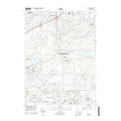
2015 Map of Sag Bridge
USGS Topo · Published 2015About this map
The Des Plaines River and the Illinois and Michigan Canal dominate this landscape southwest of Chicago, where the historic waterway and the Calumet Sag Channel meet near Sag Bridge. This survey captures the complex intersection of 19th-century water transport and modern rail infrastructure, including the BNSF Railway and Metra lines. To the south, the terrain transitions into a dense concentration of forest preserves and sloughs, such as Tampier Slough and Saganashkee Slough.
Find a feature on this map
67 named features on this map. Tap any name to fly to it.
Don’t see what you’re looking for? This feature index may not catch every label — zoom into the map to look around manually.
Map Details
Editions of this 2015 Sag Bridge Map
This is the sole edition of this map. No revisions or reprints were ever made.
Other maps of this area

1890 · Des Plaines
USGS Topo · 1:62,500

1891 · Riverside
USGS Topo · 1:62,500

1892 · Joliet
USGS Topo · 1:62,500

1893 · Riverside
USGS Topo · 1:62,500

1894 · Des Plaines
USGS Topo · 1:62,500

1900 · Des Plaines
USGS Topo · 1:62,500

1900 · Riverside
USGS Topo · 1:62,500

1901 · Des Plaines
USGS Topo · 1:62,500

1901 · Riverside
USGS Topo · 1:62,500

1908 · Wheaton
USGS Topo · 1:62,500