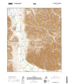
2017 Map of Sagavanirktok A-1 NE
USGS Topo · Published 2017About this map
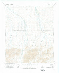
Echooka River meanders across this northern landscape, carving a broad valley through the eastern sections of township t3s r20e and southward. The terrain is defined by dramatic elevation changes, with the river providing a natural corridor through the otherwise steep slopes. In the northeastern corner, the Shaviovik River enters the frame, marking a distinct drainage basin from the Echooka system. This 2017 survey by the U.S. Geological Survey shows a wilderness shaped by these two primary watercourses, where the absence of roads or permanent structures reflects the extreme isolation of the North Slope. The detailed contour mapping reveals the complex ridges and spurs that separate these river valleys, providing a precise record of the physical geography near the Brooks Range foothills.
Find a feature on this map
8 named features on this map. Tap any name to fly to it.
Don’t see what you’re looking for? This feature index may not catch every label — zoom into the map to look around manually.
Map Details
Editions of this 2017 Sagavanirktok A-1 NE Map
This is the sole edition of this map. No revisions or reprints were ever made.
Other maps of this area

1951 · Sagavanirktok D-5
USGS Topo · 1:250,000

1951 · Mt. Michelson
USGS Topo · 1:250,000

1956 · Mt. Michelson
USGS Topo · 1:250,000

1956 · Sagavanirktok
USGS Topo · 1:250,000

1958 · Sagavanirktok
USGS Topo · 1:250,000

1964 · Sagavanirktok
USGS Topo · 1:250,000
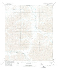
1971 · Sagavanirktok A-1
USGS Topo · 1:63,360
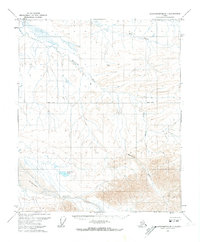
1971 · Sagavanirktok B-1
USGS Topo · 1:63,360
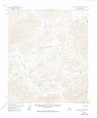
1971 · Mount Michelson A-5
USGS Topo · 1:63,360
1971 · Mount Michelson B-5
USGS Topo · 1:63,360