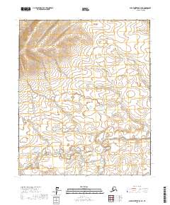
2017 Map of Sagavanirktok B-5 NE
USGS Topo · Published 2017About this map
The North Slope Borough in northern Alaska is captured in this 2017 topographic study by the U.S. Geological Survey. The landscape is dominated by the complex hydrologic patterns and varied relief of the North Slope, defined administratively by the Public Land Survey System grids of T2n R10e, T2n R11e, and surrounding townships. This area near the Sagavanirktok region illustrates the high-latitude terrain before significant modern infrastructure developments, showing a wilderness of water bodies and subtle elevation changes across T1n R10e and T1n R11e. The map serves as a detailed record of the natural geography and original land divisions in one of the most remote sections of the United States, reaching south into T1s R10e and T1s R11e.
Find a feature on this map
6 named features on this map. Tap any name to fly to it.
Don’t see what you’re looking for? This feature index may not catch every label — zoom into the map to look around manually.
Map Details
Editions of this 2017 Sagavanirktok B-5 NE Map
This is the sole edition of this map. No revisions or reprints were ever made.
Other maps of this area

1951 · Sagavanirktok D-5
USGS Topo · 1:250,000

1956 · Sagavanirktok
USGS Topo · 1:250,000

1958 · Sagavanirktok
USGS Topo · 1:250,000

1964 · Sagavanirktok
USGS Topo · 1:250,000
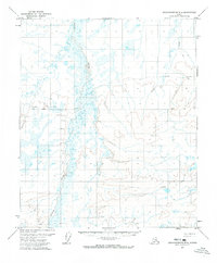
1971 · Sagavanirktok B-4
USGS Topo · 1:63,360
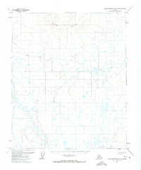
1971 · Sagavanirktok B-5
USGS Topo · 1:63,360
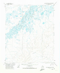
1971 · Sagavanirktok C-5
USGS Topo · 1:63,360
1971 · Sagavanirktok C-4
USGS Topo · 1:63,360
2017 · Sagavanirktok C-5 SW
USGS Topo · 1:25,000
2017 · Sagavanirktok B-4 SW
USGS Topo · 1:25,000