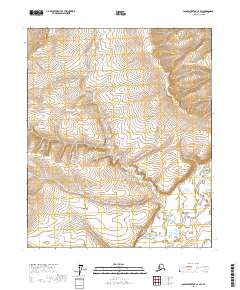
2017 Map of Sagavanirktok C-4 SW
USGS Topo · Published 2017About this map
The Toolik River winds through the southern reaches of this North Slope landscape, carving a low-lying valley through the Arctic tundra. To the north, the White Hills provide a subtle but distinct rise in elevation, marking the terrain with a complex series of drainage patterns and seasonal wetlands. This 2017 survey by the U.S. Geological Survey captures the remote geography of the North Slope Borough, where the vast open spaces are defined by the natural flow of water and the underlying Township and Range survey lines, such as t3n r11e and t2n r12e. The lack of man-made infrastructure or settlements emphasizes the raw, natural state of the Alaskan interior near the edge of the Brooks Range foothills.
Find a feature on this map
6 named features on this map. Tap any name to fly to it.
Don’t see what you’re looking for? This feature index may not catch every label — zoom into the map to look around manually.
Map Details
Editions of this 2017 Sagavanirktok C-4 SW Map
This is the sole edition of this map. No revisions or reprints were ever made.
Other maps of this area

1951 · Sagavanirktok D-5
USGS Topo · 1:250,000

1956 · Sagavanirktok
USGS Topo · 1:250,000

1958 · Sagavanirktok
USGS Topo · 1:250,000

1964 · Sagavanirktok
USGS Topo · 1:250,000
1971 · Sagavanirktok B-4
USGS Topo · 1:63,360
1971 · Sagavanirktok B-5
USGS Topo · 1:63,360
1971 · Sagavanirktok C-5
USGS Topo · 1:63,360
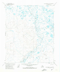
1971 · Sagavanirktok C-4
USGS Topo · 1:63,360
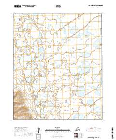
2017 · Sagavanirktok C-4 NE
USGS Topo · 1:25,000
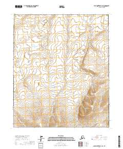
2017 · Sagavanirktok B-4 NE
USGS Topo · 1:25,000