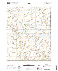
2017 Map of Sagavanirktok D-1 NE
USGS Topo · Published 2017About this map
Kivivik River defines the western edge of this coastal Arctic landscape in the North Slope region. This environment is characterized by a dense network of thaw lakes and wetlands, typical of the permafrost-dominated terrain found north of the Brooks Range. The U.S. Geological Survey detail reveals a complex hydrological pattern across the survey area, where small, unnamed water bodies dominate the landscape between defined river channels. This particular section of the Sagavanirktok D-1 NE quadrangle serves as a primary record of the delicate surface morphology of the Alaskan tundra in the early twenty-first century.
Find a feature on this map
10 named features on this map. Tap any name to fly to it.
Don’t see what you’re looking for? This feature index may not catch every label — zoom into the map to look around manually.
Map Details
Editions of this 2017 Sagavanirktok D-1 NE Map
This is the sole edition of this map. No revisions or reprints were ever made.
Other maps of this area

1951 · Beechey Point
USGS Topo · 1:250,000

1951 · Sagavanirktok D-5
USGS Topo · 1:250,000

1951 · Mt. Michelson
USGS Topo · 1:250,000

1955 · Flaxman Island
USGS Topo · 1:250,000

1955 · Beechey Point
USGS Topo · 1:250,000

1955 · Mount Michelson D-5
USGS Topo · 1:63,360

1955 · Flaxman Island A-5
USGS Topo · 1:63,360

1955 · Beechey Point A-1
USGS Topo · 1:63,360
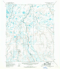
1955 · Sagavanirktok D-1
USGS Topo · 1:63,360

1956 · Mt. Michelson
USGS Topo · 1:250,000