
1958 Map of Sagavanirktok
USGS Topo · Published 1977About this map
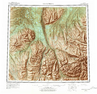
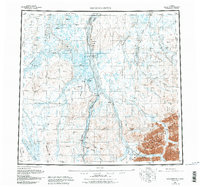
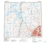
Franklin Bluffs and the braided channels of the Sagavanirktok River dominate this mid-century survey of Alaska's North Slope. The landscape is a complex network of Arctic waterways including the Kuparuk River, Toolik River, and Ivishak River, revealing the region's geography before the full realization of the modern energy corridor. A critical phase of industrial development is captured by the presence of a Pipeline (Under Construction) and a series of remote outposts such as Sagwon and Happy Valley. Evidence of early exploration and logistical infrastructure is visible through markings for an Oil well, a Landing strip, and the Winter Trail. To the south, the terrain rises toward the White Hills and Kakukturaat Mtn, while the eastern portion of the sheet features the Shaviovik River and the high pass at Niviak Pass.
Find a feature on this map
31 named features on this map. Tap any name to fly to it.
Don’t see what you’re looking for? This feature index may not catch every label — zoom into the map to look around manually.
Map Details
Editions of this 1958 Sagavanirktok Map
4 editions found
Other maps of this area

1951 · Harrison Bay
USGS Topo · 1:250,000

1951 · Beechey Point
USGS Topo · 1:250,000

1951 · Sagavanirktok D-5
USGS Topo · 1:250,000

1951 · Chandler Lake
USGS Topo · 1:250,000

1951 · Brooks
USGS Topo · 1:250,000

1951 · Arctic
USGS Topo · 1:250,000

1951 · Mt. Michelson
USGS Topo · 1:250,000

1952 · Umiat
USGS Topo · 1:250,000

1955 · Flaxman Island
USGS Topo · 1:250,000

1955 · Harrison Bay
USGS Topo · 1:250,000