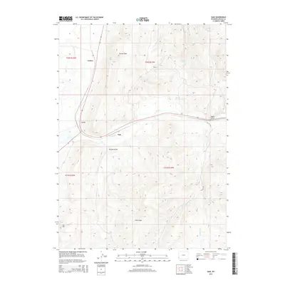
2015 Map of Sage
USGS Topo · Published 2015About this map
Sage and the adjacent settlement of Leefe anchor this western Wyoming landscape where the high-desert terrain meets essential water management systems. The map detail highlights how local topography, such as Boulder Ridge and Sillem Ridge, dictates the path of infrastructure like the Twin Cr Ditch and the winding course of Twin Cr. These drainage patterns, including Collett Cr and Bridger Fork, reveal a land defined by its hydrology, where isolated water sources like Gooseberry Spring and the Thomas Reservoir were critical for livestock and the small communities of Carlson and Sage.
Find a feature on this map
21 named features on this map. Tap any name to fly to it.
Don’t see what you’re looking for? This feature index may not catch every label — zoom into the map to look around manually.
Map Details
Editions of this 2015 Sage Map
This is the sole edition of this map. No revisions or reprints were ever made.
Other maps of this area

1912 · Randolph
USGS Topo · 1:125,000

1954 · Sage
USGS Topo · 1:62,500

1954 · Ogden
USGS Topo · 1:250,000

1958 · Ogden
USGS Topo · 1:250,000

1960 · Ogden
USGS Topo · 1:250,000

1962 · Bell Butte NE
USGS Topo · 1:24,000

1962 · Windy Point
USGS Topo · 1:24,000

1968 · Rex Peak
USGS Topo · 1:24,000
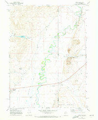
1969 · Leefe
USGS Topo · 1:24,000
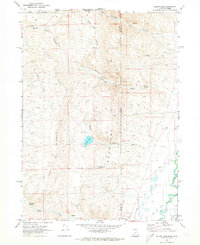
1969 · South Lake
USGS Topo · 1:24,000