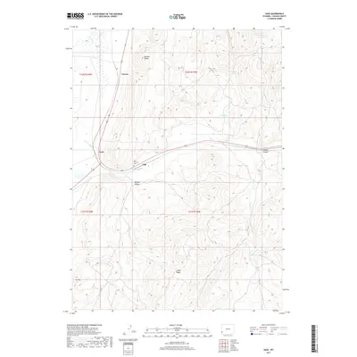
2017 Map of Sage
USGS Topo · Published 2017About this map
Sage sits at a geographic crossroads in western Lincoln County, where the valley of Twin Cr meets the rising terrain of Boulder Ridge and Sillem Ridge. This 2017 study details a landscape defined by ranching and resource management, anchored by small settlements like Leefe and the remote Carlson stop. Water remains a critical element for this high-desert environment, evidenced by the presence of Thomas Reservoir, Gooseberry Spring, and the engineered flow of the Twin Cr Ditch.
Find a feature on this map
21 named features on this map. Tap any name to fly to it.
Don’t see what you’re looking for? This feature index may not catch every label — zoom into the map to look around manually.
Map Details
Editions of this 2017 Sage Map
This is the sole edition of this map. No revisions or reprints were ever made.
Other maps of this area

1912 · Randolph
USGS Topo · 1:125,000

1954 · Sage
USGS Topo · 1:62,500

1954 · Ogden
USGS Topo · 1:250,000

1958 · Ogden
USGS Topo · 1:250,000

1960 · Ogden
USGS Topo · 1:250,000

1962 · Bell Butte NE
USGS Topo · 1:24,000

1962 · Windy Point
USGS Topo · 1:24,000

1968 · Rex Peak
USGS Topo · 1:24,000
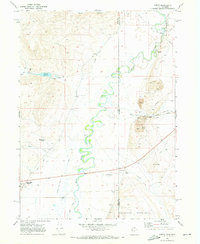
1969 · Leefe
USGS Topo · 1:24,000
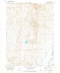
1969 · South Lake
USGS Topo · 1:24,000