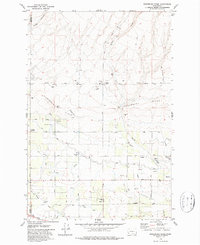
1979 Map of Sagebrush Ridge
USGS Topo · Published 1987About this map
The Sagebrush Ridge landscape in Yakima and Benton counties highlights a sophisticated 1970s irrigation network defined by the Roza Canal and numerous siphons and aqueducts. The terrain transitions from the high, arid ridge down toward the agricultural flats, where the Pacific Pump Lateral and a series of pumping stations manage the water flow. Named family roads such as Anderson Road, Snipes Road, and Evans Road divide the land into a grid, reflecting a history of ranching and farming infrastructure. Local landmarks like Anderson Ranch and the small settlement of McCreadie sit alongside utility features like the Grandview Substation and several storage bins. The presence of a Landing Strip and multiple Gravel Pits suggests a working rural economy focused on resource management and water distribution during this era of late-century development.
Find a feature on this map
38 named features on this map. Tap any name to fly to it.
Don’t see what you’re looking for? This feature index may not catch every label — zoom into the map to look around manually.
Map Details
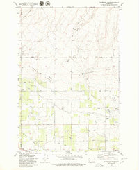
Editions of this 1979 Sagebrush Ridge Map
2 editions found
Other maps of this area

1915 · Prosser
USGS Topo · 1:125,000

1917 · Prosser
USGS Topo · 1:125,000

1950 · Grandview
USGS Topo · 1:62,500

1951 · Grandview
USGS Topo · 1:62,500

1951 · Corral Canyon
USGS Topo · 1:62,500

1953 · Walla Walla
USGS Topo · 1:250,000

1958 · Walla Walla
USGS Topo · 1:250,000

1965 · Whitstran
USGS Topo · 1:62,500
1965 · Prosser
USGS Topo · 1:62,500
1965 · Prosser
USGS Topo · 1:24,000