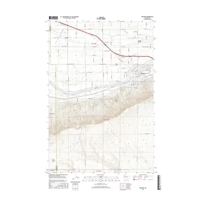
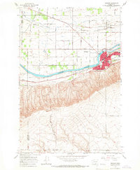
1965 Map of Prosser
USGS Topo · Published 1966About this map
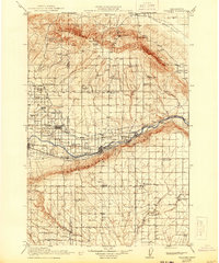
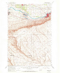
The Yakima River bisects this mid-1960s landscape, serving as a focal point for the regional infrastructure that supports the area's agricultural and transit networks. In Prosser, the county seat's grid is well-defined, containing essential civic landmarks like the Courthouse, City Hall, and Hospital. The surrounding terrain transitions from the valley floor to the prominent Ward Gap in the south, while the northern sections are dominated by the Union Pacific and Northern Pacific railroads. This era of development is evidenced by the presence of Beardsley Airfield and a Drive-in Theater near the riverbanks. Irrigation remains central to the landscape, with the Sunnyside Canal, numerous siphons, and an Aqueduct supporting the outlying settlements of Apricot and North Prosser. Traceable family history is found at the local Cem and schools like Prosser Hts Sch.
Find a feature on this map
52 named features on this map. Tap any name to fly to it.
Don’t see what you’re looking for? This feature index may not catch every label — zoom into the map to look around manually.
Map Details
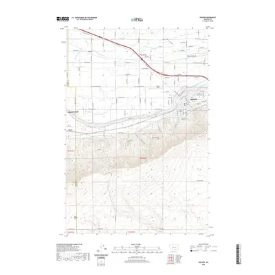
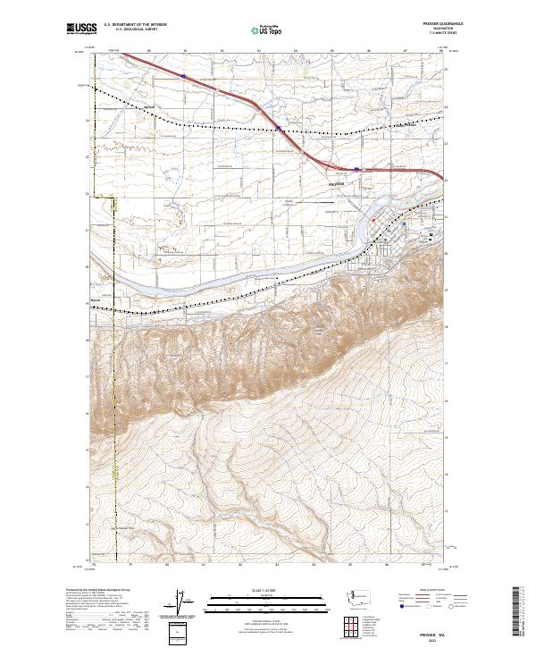
Editions of this 1965 Prosser Map
3 editions found
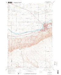
Historical Maps of Grandview Through Time
9 maps found