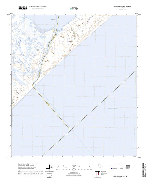
2025 Map of Saint Charles Bay SE
USGS Topo · Published 2025About this map
San Jose Island and Matagorda Island define this coastal stretch along the Texas barrier island chain. This 2025 survey illustrates the dynamic boundary where the Gulf of America meets the complex network of salt marshes and tidal channels. The division between Aransas and Calhoun Counties runs through these waters, bisecting the passage near Mesquite Bay and the winding Vinson Slough. The landscape is characterized by its absence of road infrastructure or permanent settlements, reflecting the protected and shifting nature of the barrier island environment as it appeared in the mid-2020s. For those studying the hydrology and geography of the Gulf Coast, this map provides precise topography of the inlet systems and wetlands that separate the mainland from the open sea.
Find a feature on this map
7 named features on this map. Tap any name to fly to it.
Don’t see what you’re looking for? This feature index may not catch every label — zoom into the map to look around manually.
Map Details
Editions of this 2025 Saint Charles Bay SE Map
This is the sole edition of this map. No revisions or reprints were ever made.
Other maps of this area

1950 · Corpus Christi
USGS Topo · 1:250,000

1951 · Allyns Bight
USGS Topo · 1:24,000

1952 · St. Charles Bay SW
USGS Topo · 1:24,000

1952 · St. Charles Bay
USGS Topo · 1:24,000

1952 · Mesquite Bay
USGS Topo · 1:24,000

1952 · Panther Point
USGS Topo · 1:24,000

1952 · St. Charles Bay SE
USGS Topo · 1:24,000

1953 · Beeville
USGS Topo · 1:250,000

1956 · Corpus Christi
USGS Topo · 1:250,000

1956 · Beeville
USGS Topo · 1:250,000