2021 Map of Saint Clair
USGS Topo · Published 2021About this map
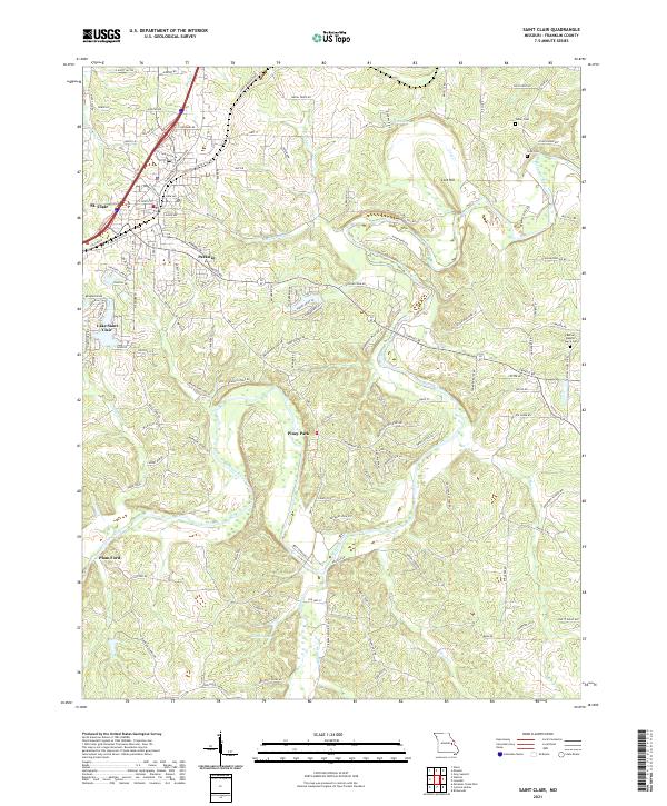
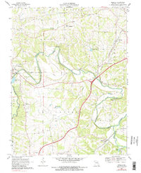
The Meramec River winds through the heart of this Franklin County landscape, creating a dramatic series of bends that define the local geography. Significant residential development radiates from St. Clair and Parkway, while smaller enclaves like Piney Park and Lake Saint Clair occupy the more wooded terrain to the south. The area’s spiritual and genealogical history is anchored by New Hope Church and the Bethel Baptist Church Cem, alongside several smaller family burial grounds including Fisher Cem and Cove Cem.
Find a feature on this map
167 named features on this map. Tap any name to fly to it.
Don’t see what you’re looking for? This feature index may not catch every label — zoom into the map to look around manually.
Map Details
Editions of this 2021 Saint Clair Map
This is the sole edition of this map. No revisions or reprints were ever made.
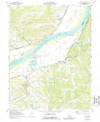
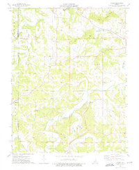
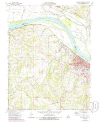
Historical Maps of Plum Ford Through Time
16 maps found
1966 Spring Bluff
Franklin County, MO
1966 Strain
Franklin County, MO
1969 Lonedell
Franklin County, MO
1969 Moselle
Franklin County, MO
1972 Labadie
Franklin County, MO
1973 Dissen
Franklin County, MO
1973 Washington West
Franklin County, MO
1980 Moselle
Franklin County, MO
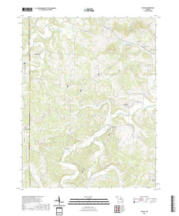
2021 Dissen
Franklin County, MO
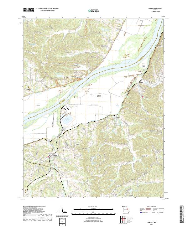
2021 Labadie
Franklin County, MO
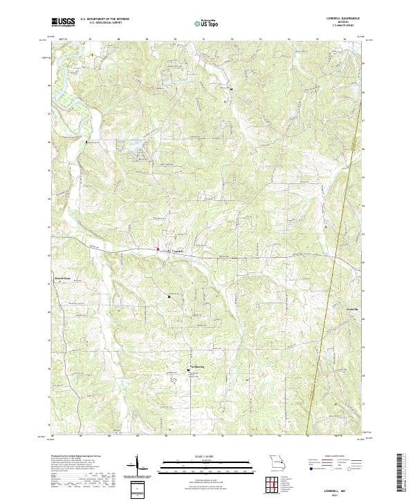
2021 Lonedell
Franklin County, MO
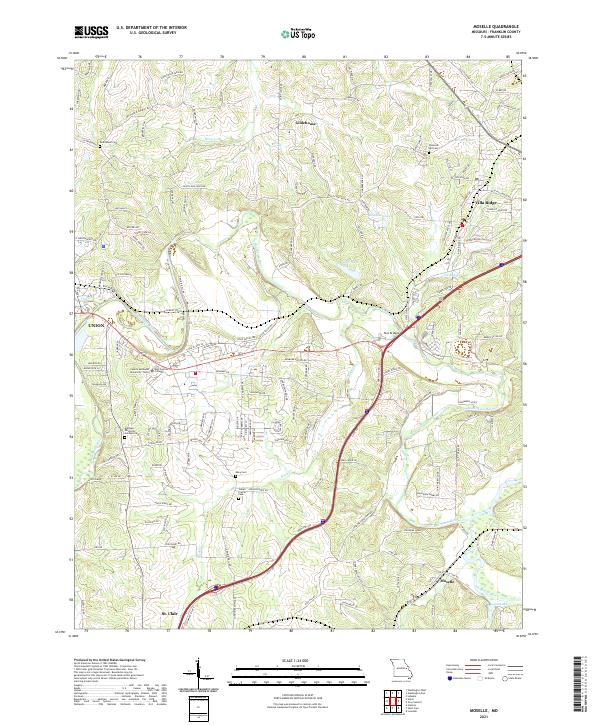
2021 Moselle
Franklin County, MO
2021 Saint Clair
Franklin County, MO
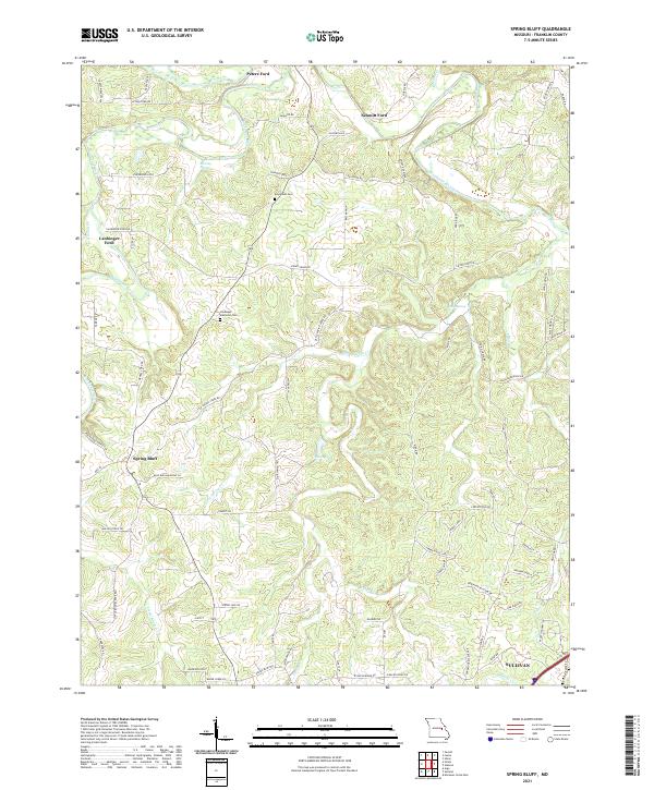
2021 Spring Bluff
Franklin County, MO
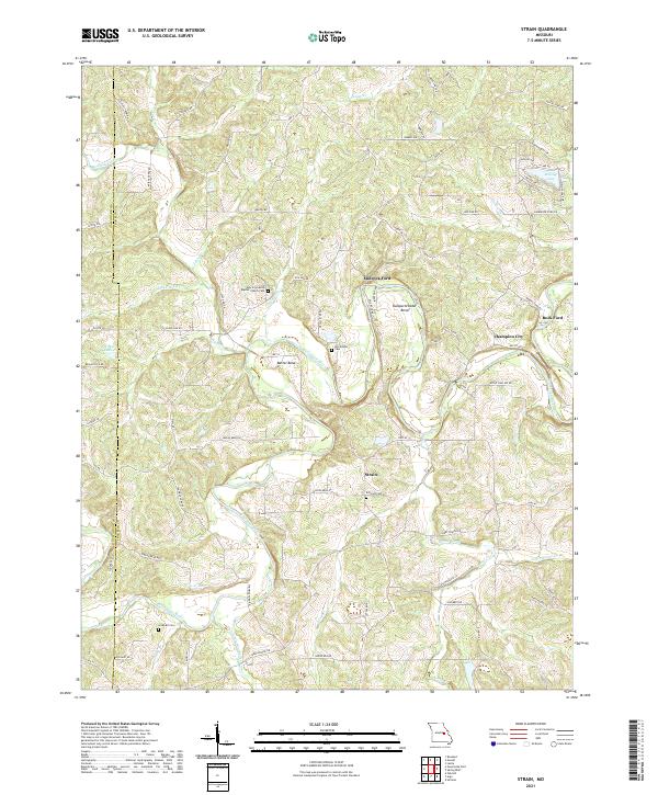
2021 Strain
Franklin County, MO
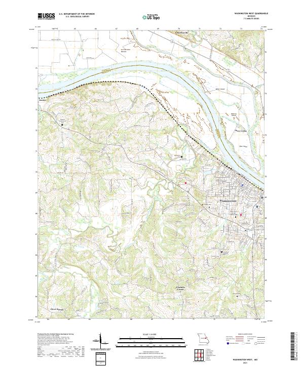
2021 Washington West
Franklin County, MO