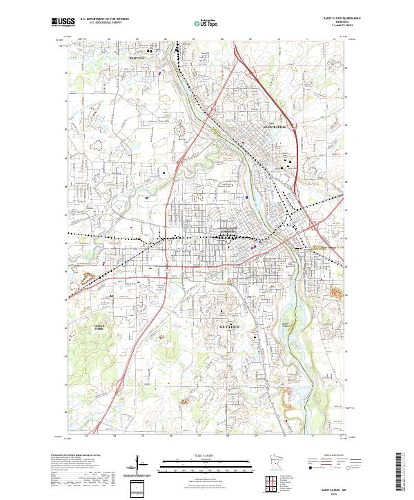
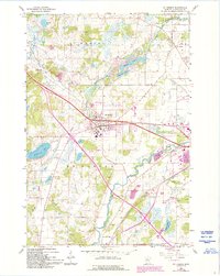
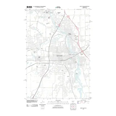
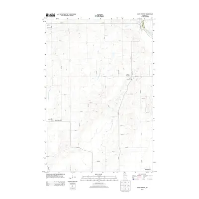
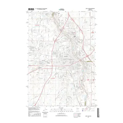
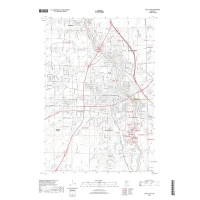
2022 Map of Saint Cloud
USGS Topo · Published 2022About this map
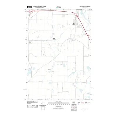
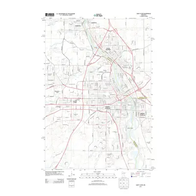
The Mississippi River serves as the central artery for this regional hub, where the boundaries of Stearns, Benton, and Sherburne counties meet. This survey shows the modern footprint of St. Cloud, including the sprawling campus of Saint Cloud State University and the Stearns County Courthouse. The urban landscape is shaped by the confluence of the Sauk River and the Mississippi, with the Beaver Islands creating a complex aquatic environment south of the city center.
Find a feature on this map
57 named features on this map. Tap any name to fly to it.
Don’t see what you’re looking for? This feature index may not catch every label — zoom into the map to look around manually.
Map Details
Editions of this 2022 Saint Cloud Map
This is the sole edition of this map. No revisions or reprints were ever made.
Historical Maps of St. Cloud Through Time
57 maps found
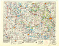
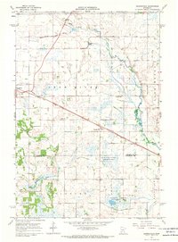
1953 Saint Cloud
Stearns County, MN

1957 Saint Cloud
Stearns County, MN

1958 Saint Cloud
Stearns County, MN
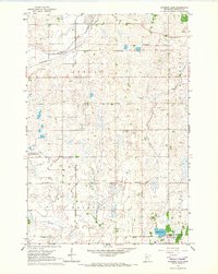
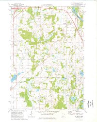
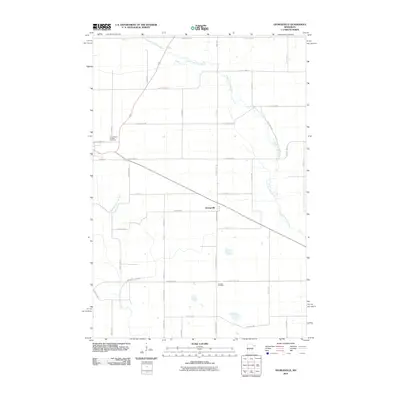
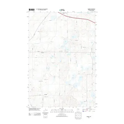
1965 Farming
Stearns County, MN
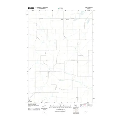
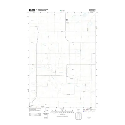
1965 Padua
Stearns County, MN
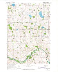
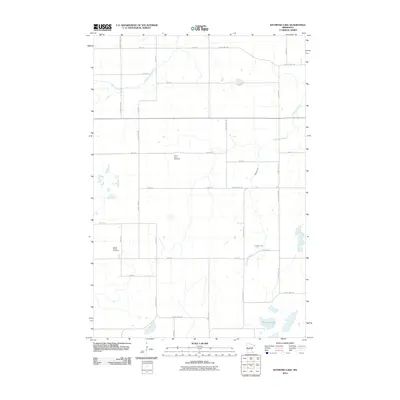
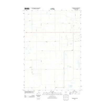
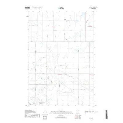
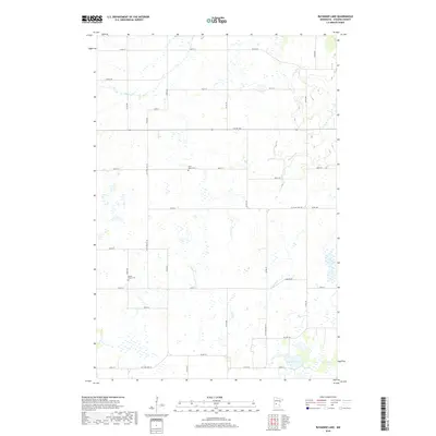
1965 Raymond Lake
Stearns County, MN
1965 St Joseph
Stearns County, MN
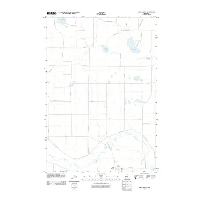
1965 St Martin
Stearns County, MN
1965 St Stephen
Stearns County, MN
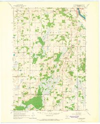
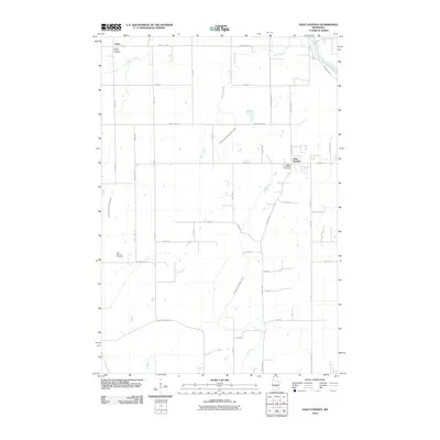
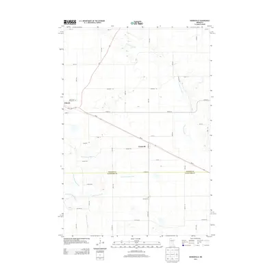
1967 Georgeville
Stearns County, MN
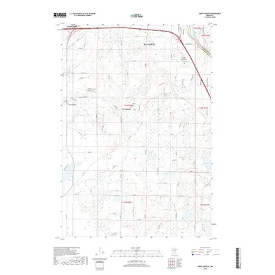
1974 St Augusta
Stearns County, MN
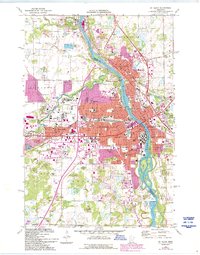
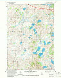
1974 St Cloud
Stearns County, MN
2010 Farming
Stearns County, MN
2010 Georgeville
Stearns County, MN
2010 Padua
Stearns County, MN
2010 Raymond Lake
Stearns County, MN
2010 Saint Augusta
Stearns County, MN
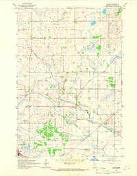
2010 Saint Cloud
Stearns County, MN
2010 Saint Joseph
Stearns County, MN
2010 Saint Martin
Stearns County, MN
2010 Saint Stephen
Stearns County, MN
2013 Farming
Stearns County, MN
2013 Georgeville
Stearns County, MN
2013 Padua
Stearns County, MN
2013 Raymond Lake
Stearns County, MN
2013 Saint Augusta
Stearns County, MN
2013 Saint Cloud
Stearns County, MN
2013 Saint Joseph
Stearns County, MN
2013 Saint Martin
Stearns County, MN
2013 Saint Stephen
Stearns County, MN
2016 Farming
Stearns County, MN
2016 Georgeville
Stearns County, MN
2016 Padua
Stearns County, MN
2016 Raymond Lake
Stearns County, MN
2016 Saint Augusta
Stearns County, MN
2016 Saint Cloud
Stearns County, MN
2016 Saint Joseph
Stearns County, MN
2016 Saint Martin
Stearns County, MN
2016 Saint Stephen
Stearns County, MN
2019 Farming
Stearns County, MN
2019 Georgeville
Stearns County, MN
2019 Padua
Stearns County, MN
2019 Raymond Lake
Stearns County, MN
2019 Saint Augusta
Stearns County, MN
2019 Saint Cloud
Stearns County, MN
2019 Saint Joseph
Stearns County, MN
2019 Saint Martin
Stearns County, MN
2019 Saint Stephen
Stearns County, MN
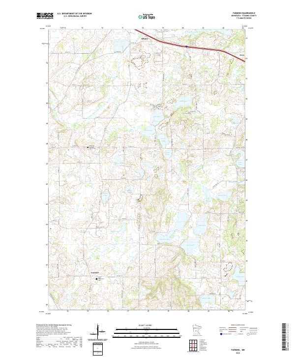
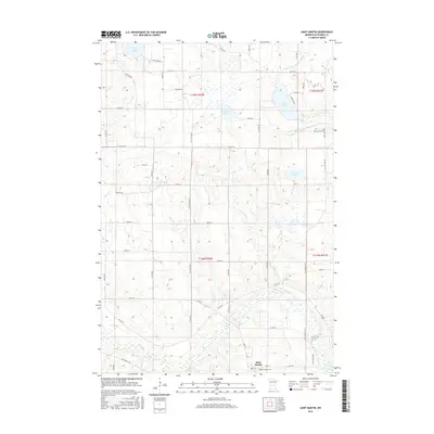
2022 Farming
Stearns County, MN
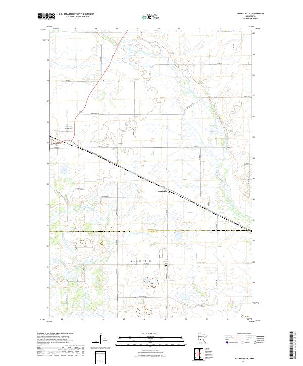
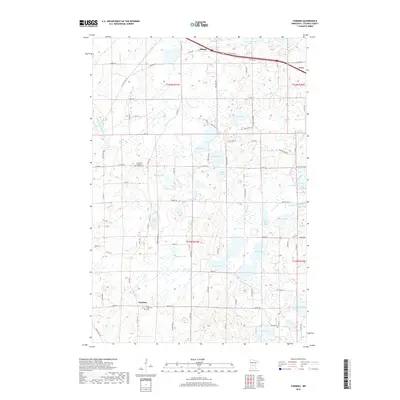
2022 Georgeville
Stearns County, MN
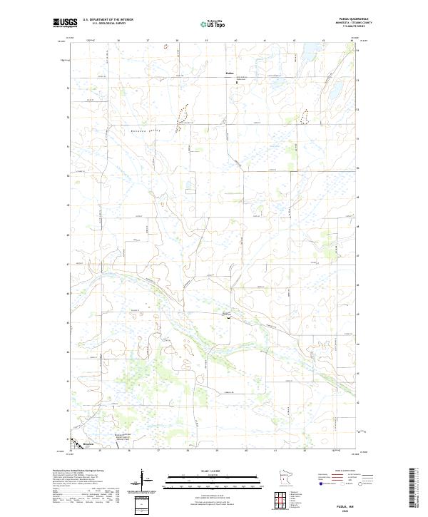
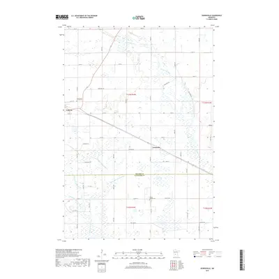
2022 Padua
Stearns County, MN
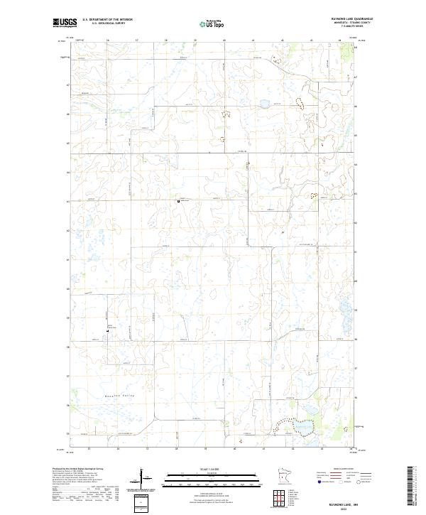
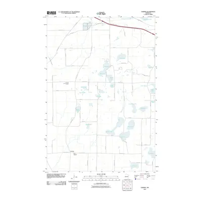
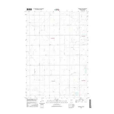
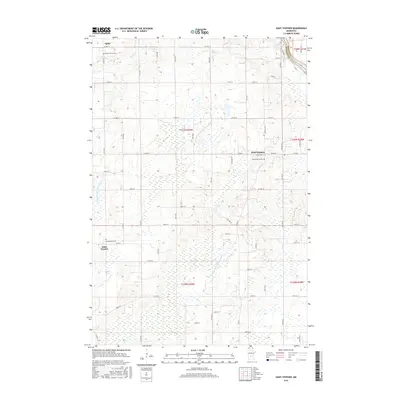
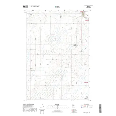
2022 Raymond Lake
Stearns County, MN
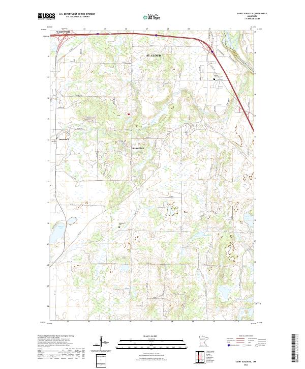
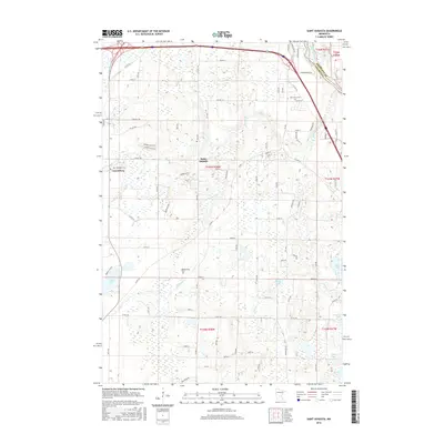
2022 Saint Augusta
Stearns County, MN
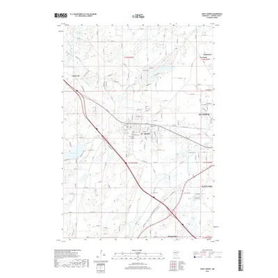
2022 Saint Cloud
Stearns County, MN
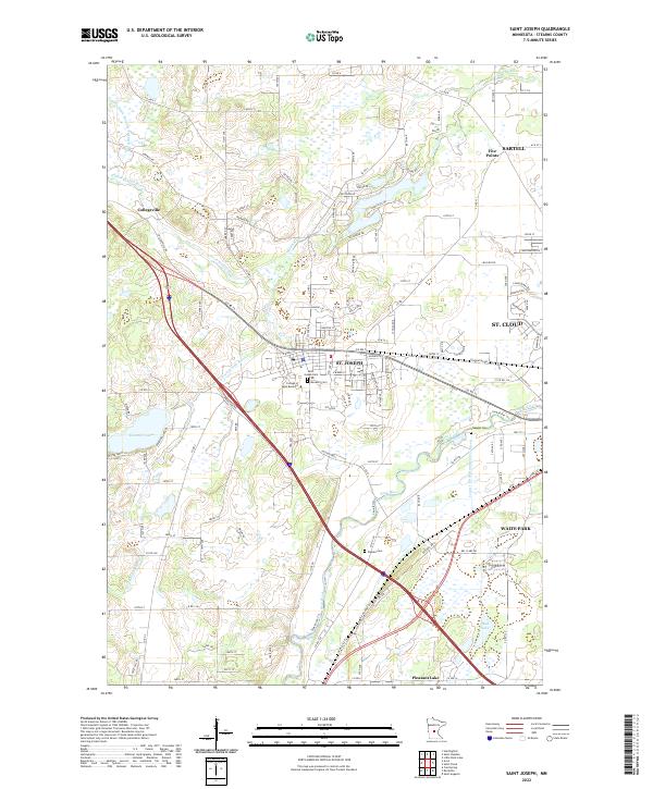
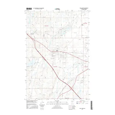
2022 Saint Joseph
Stearns County, MN
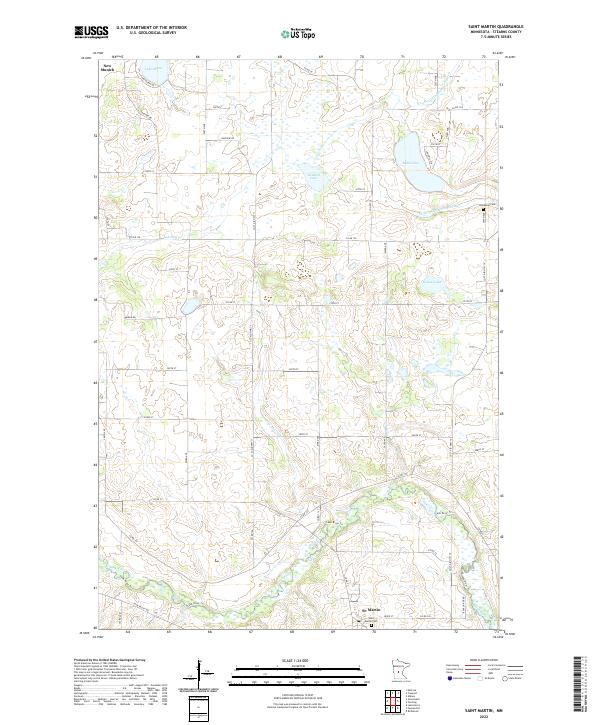
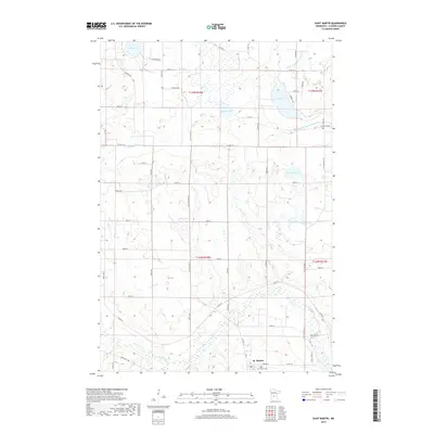
2022 Saint Martin
Stearns County, MN
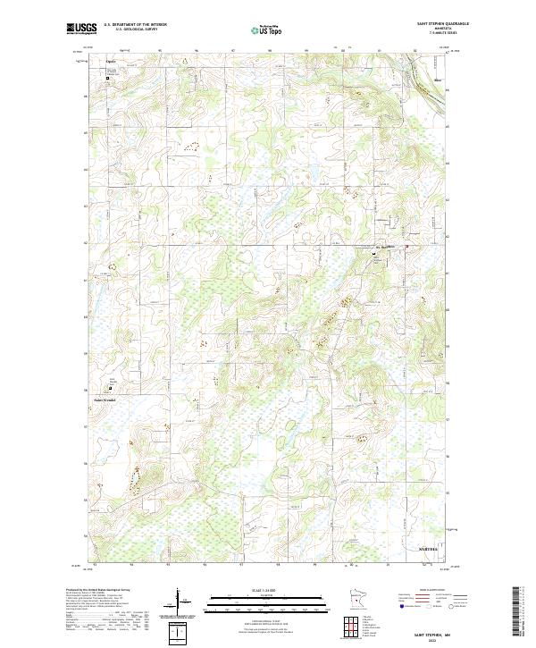
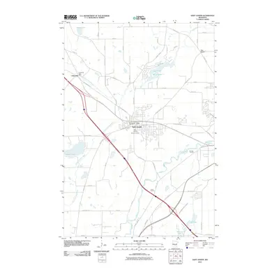
2022 Saint Stephen
Stearns County, MN