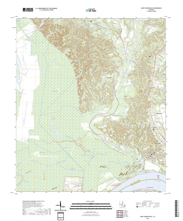
2024 Map of Saint Francisville
USGS Topo · Published 2024About this map
St. Francisville stands on the bluffs above the Mississippi River in this modern survey of West Feliciana Parish. The town center is defined by its architectural and spiritual heritage, including the Grace Episcopal Church and several burial grounds like Feliciana Cem. West of the town, the landscape shifts abruptly from the elevated ridges of Peach Ridge to the alluvial bottomlands of the Cat Island National Wildlife Refuge. This lowland area is a complex network of seasonal water bodies, including Tunica Swamp, Lake Platt, and Blackfork Bayou, illustrating the characteristic drainage patterns of the river's floodplain before it reaches Pointe Coupee.
Find a feature on this map
72 named features on this map. Tap any name to fly to it.
Don’t see what you’re looking for? This feature index may not catch every label — zoom into the map to look around manually.
Map Details
Editions of this 2024 Saint Francisville Map
This is the sole edition of this map. No revisions or reprints were ever made.
Other maps of this area

1906 · Bayou Sara
USGS Topo · 1:125,000

1939 · St. Francisville
USGS Topo · 1:62,500

1939 · Fordoche
USGS Topo · 1:62,500

1941 · Batchelor
USGS Topo · 1:62,500

1953 · New Roads
USGS Topo · 1:24,000

1954 · Port Hudson
USGS Topo · 1:24,000

1954 · Elm Park
USGS Topo · 1:24,000

1954 · Baton Rouge
USGS Topo · 1:250,000

1955 · Fordoche
USGS Topo · 1:62,500

1955 · Batchelor
USGS Topo · 1:62,500
Featured Places
- St. Francisville, LA
- Saint Francisville, St. Francisville
- Bains, LA
- Solitude, LA
- Pointe Coupee Parish, LA