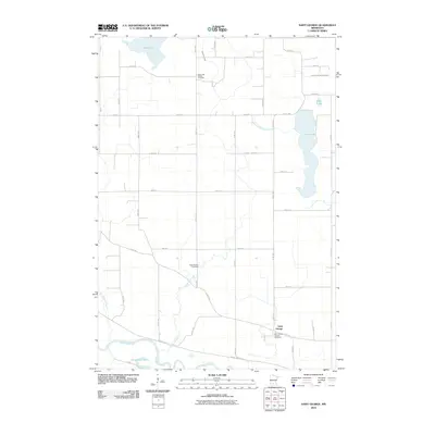
2010 Map of Saint George
USGS Topo · Published 2010About this map
The Minnesota River winds along the southern edge of this agricultural landscape in Nicollet County, shaping the lowlands near Horseshoe Lake. The settlement of Saint George serves as a local focal point, anchored by the Saint George Catholic Cemetery and connected by historic routes like Fort Rd. The upland terrain is defined by a complex network of drainage systems, including Judicial Ditch Number One and County Ditch Number Four A, which support the surrounding farmland between major water bodies like Swan Lake and Clear Lake. For genealogists and local historians, the map identifies significant burial sites scattered across the township, including the West Newton Cemetery and the Clear Lake Baptist Cemetery. The landscape is a study in rural Minnesota land management, where natural features like Eightmile Creek and Little Rock Creek intersect with a rigid grid of section roads and county highways.
Find a feature on this map
43 named features on this map. Tap any name to fly to it.
Don’t see what you’re looking for? This feature index may not catch every label — zoom into the map to look around manually.
Map Details
Editions of this 2010 Saint George Map
This is the sole edition of this map. No revisions or reprints were ever made.
Other maps of this area

1953 · New Ulm
USGS Topo · 1:250,000

1957 · New Ulm
USGS Topo · 1:250,000

1958 · New Ulm
USGS Topo · 1:250,000

1958 · Winthrop
USGS Topo · 1:62,500

1964 · New Ulm
USGS Topo · 1:24,000

1964 · Fairfax
USGS Topo · 1:24,000

1964 · Sleepy Eye NW
USGS Topo · 1:24,000

1964 · Sleepy Eye
USGS Topo · 1:24,000

1964 · Essig
USGS Topo · 1:24,000

1964 · Lafayette
USGS Topo · 1:24,000