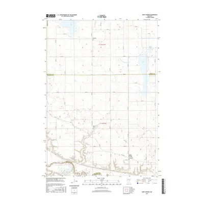
2016 Map of Saint George
USGS Topo · Published 2016About this map
Saint George anchors this landscape in western Nicollet County, sitting just north of the winding Minnesota River. The terrain is defined by its complex hydrology, where natural features like Swan Lake, Clear Lake, and Mud Lake are connected by a system of man-made channels including Judicial Ditch Number One and County Ditch Number Four A. These waterways reflect the agricultural development of the region, where drainage projects were essential to managing the low-lying prairie.
Find a feature on this map
38 named features on this map. Tap any name to fly to it.
Don’t see what you’re looking for? This feature index may not catch every label — zoom into the map to look around manually.
Map Details
Editions of this 2016 Saint George Map
This is the sole edition of this map. No revisions or reprints were ever made.
Other maps of this area

1953 · New Ulm
USGS Topo · 1:250,000

1957 · New Ulm
USGS Topo · 1:250,000

1958 · New Ulm
USGS Topo · 1:250,000

1958 · Winthrop
USGS Topo · 1:62,500

1964 · New Ulm
USGS Topo · 1:24,000

1964 · Fairfax
USGS Topo · 1:24,000

1964 · Sleepy Eye NW
USGS Topo · 1:24,000

1964 · Sleepy Eye
USGS Topo · 1:24,000

1964 · Essig
USGS Topo · 1:24,000

1964 · Lafayette
USGS Topo · 1:24,000