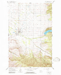
1964 Map of Saint Ignatius
USGS Topo · Published 1986About this map
Saint Ignatius serves as the focal point of this mid-century survey, situated at the base of the steep Mission Range where the valley floor transitions into the rugged eastern highlands. The town's local institutions are well-documented, including the St Joseph Sch, Mission Hospital, and two distinct burial grounds: St Ignatius Cem and Pleasant View Cem. The landscape is defined by a sophisticated water management system that channels flow from the mountains through a series of canals and natural drainages like Mission Creek and Ashley Creek. To the east, the Mission Reservoir is a significant hydrological feature, complete with its Gate House and spillway. This 1964 field-checked data captures the area during a period of established agricultural and civic life, evidenced by the presence of a Landing Strip and various gravel pits that suggest ongoing local infrastructure development.
Find a feature on this map
18 named features on this map. Tap any name to fly to it.
Don’t see what you’re looking for? This feature index may not catch every label — zoom into the map to look around manually.
Map Details
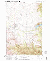
Editions of this 1964 Saint Ignatius Map
3 editions found
Other maps of this area

1921 · Elbow Lake
USGS Topo · 1:125,000

1955 · Choteau
USGS Topo · 1:250,000

1956 · Wallace
USGS Topo · 1:250,000

1957 · Choteau
USGS Topo · 1:250,000

1958 · Choteau
USGS Topo · 1:250,000

1959 · Arlee
USGS Topo · 1:62,500

1960 · Wallace
USGS Topo · 1:250,000

1962 · Choteau
USGS Topo · 1:250,000

1964 · Fort Connah
USGS Topo · 1:24,000

1964 · Saint Ignatius
USGS Topo · 1:24,000