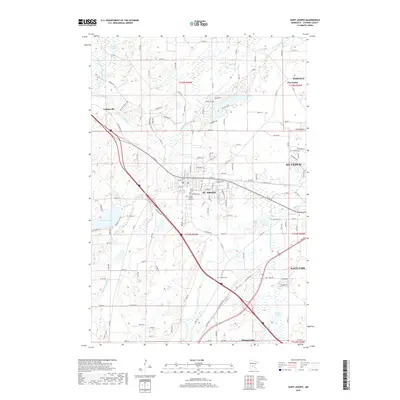
2019 Map of Saint Joseph
USGS Topo · Published 2019About this map
College of Saint Benedict and the surrounding community of St. Joseph anchor this 2019 landscape in Stearns County. The area is defined by the convergence of the Sauk River and the complex drainage of the Watab River system, including the N Fork Watab River and S Fork Watab River. This modern survey reveals a mix of academic institutions, residential expansion in Waite Park and Sartell, and enduring local landmarks. Genealogists and local historians can locate several burial grounds, including the Monastic Cem near the college, Saint Joseph Cem, and the more isolated Stranger Cem and Staples Cem. The map tracks the northern edges of Pleasant Lake and Mud Lake, illustrating the glacial topography that has shaped the growth of settlements like Collegeville and the small junction at Five Points.
Find a feature on this map
142 named features on this map. Tap any name to fly to it.
Don’t see what you’re looking for? This feature index may not catch every label — zoom into the map to look around manually.
Map Details
Editions of this 2019 Saint Joseph Map
This is the sole edition of this map. No revisions or reprints were ever made.
Other maps of this area

1950 · St. Cloud
USGS Topo · 1:62,500

1951 · Annandale
USGS Topo · 1:62,500

1953 · Saint Cloud
USGS Topo · 1:250,000

1957 · Saint Cloud
USGS Topo · 1:250,000

1958 · Saint Cloud
USGS Topo · 1:250,000

1965 · St Stephen
USGS Topo · 1:24,000

1965 · Holdingford
USGS Topo · 1:24,000

1965 · St Joseph
USGS Topo · 1:24,000

1965 · Avon
USGS Topo · 1:24,000

1967 · Cold Spring
USGS Topo · 1:24,000