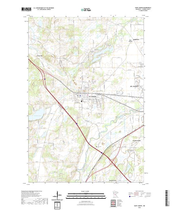
2022 Map of Saint Joseph
USGS Topo · Published 2022About this map
St. Joseph and Collegeville serve as anchor points in this central Minnesota landscape, where the academic and monastic traditions are clearly visible. The presence of the College of Saint Benedict and both the Saint Joseph Cem and Monastic Cem highlight the local religious and educational history. The terrain is defined by its complex drainage network, featuring the Watab River, its northern and southern forks, and the Sauk River winding toward the eastern boundary near Waite Park and St. Cloud.
Find a feature on this map
141 named features on this map. Tap any name to fly to it.
Don’t see what you’re looking for? This feature index may not catch every label — zoom into the map to look around manually.
Map Details
Editions of this 2022 Saint Joseph Map
This is the sole edition of this map. No revisions or reprints were ever made.
Other maps of this area

1950 · St. Cloud
USGS Topo · 1:62,500

1951 · Annandale
USGS Topo · 1:62,500

1953 · Saint Cloud
USGS Topo · 1:250,000

1957 · Saint Cloud
USGS Topo · 1:250,000

1958 · Saint Cloud
USGS Topo · 1:250,000

1965 · St Stephen
USGS Topo · 1:24,000

1965 · Holdingford
USGS Topo · 1:24,000

1965 · St Joseph
USGS Topo · 1:24,000

1965 · Avon
USGS Topo · 1:24,000

1967 · Cold Spring
USGS Topo · 1:24,000