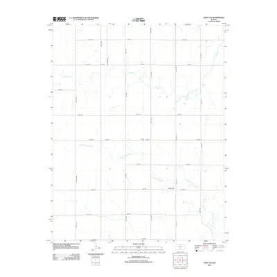
2012 Map of Saint Leo
USGS Topo · Published 2012About this map
Saint Leo sits at the heart of this Kingman County landscape, a community defined by the path of the N Fork Chikaskia River and its various tributaries. The terrain is structured by a rigorous grid of section-line roads, including the descriptive Salt Marsh Rd and numerous numbered avenues. This layout reflects the late-century persistence of traditional Midwestern land divisions even into the modern era. Genealogists may find interest in the W Point Cem located north of the primary settlement, while the drainage of Painter Cr illustrates the local hydrology that has sustained the agricultural character of this Kansas prairie for generations.
Find a feature on this map
27 named features on this map. Tap any name to fly to it.
Don’t see what you’re looking for? This feature index may not catch every label — zoom into the map to look around manually.
Map Details
Editions of this 2012 Saint Leo Map
This is the sole edition of this map. No revisions or reprints were ever made.
Other maps of this area

1889 · Anthony
USGS Topo · 1:125,000

1891 · Medicine Lodge
USGS Topo · 1:125,000

1891 · Anthony
USGS Topo · 1:125,000

1892 · Kingman
USGS Topo · 1:125,000

1892 · Pratt
USGS Topo · 1:125,000

1893 · Medicine Lodge
USGS Topo · 1:125,000

1894 · Kingman
USGS Topo · 1:125,000

1894 · Pratt
USGS Topo · 1:125,000

1955 · Pratt
USGS Topo · 1:250,000

1959 · Pratt
USGS Topo · 1:250,000