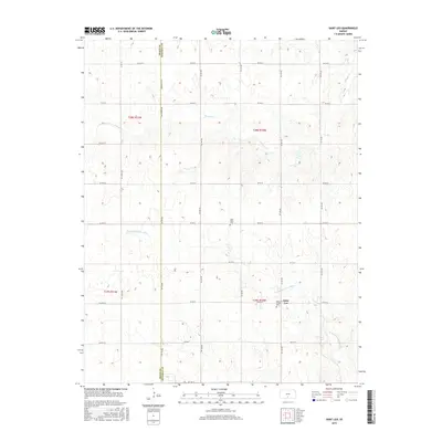
2015 Map of Saint Leo
USGS Topo · Published 2015About this map
Saint Leo anchors this corner of the High Plains, where the rural grid of Kingman County meets the Pratt County line. The settlement's historical identity is closely tied to its religious and community landmarks, notably the Saint Leo Catholic Cem located south of the main township. The landscape is defined by the winding course of the N Fork Chikaskia River and Painter Cr, which cut through the agricultural sections and break the symmetry of the section lines. Transportation across this farming country relies on a network of named local roads such as Salt Marsh Rd and SW 180 Ave. Further west, the West Point Cem serves as another quiet marker of the generations that have worked this land. This survey illustrates the persistent rural structure of south-central Kansas, where land use remains dedicated to large-scale agriculture and scattered family homesteads.
Find a feature on this map
36 named features on this map. Tap any name to fly to it.
Don’t see what you’re looking for? This feature index may not catch every label — zoom into the map to look around manually.
Map Details
Editions of this 2015 Saint Leo Map
This is the sole edition of this map. No revisions or reprints were ever made.
Other maps of this area

1889 · Anthony
USGS Topo · 1:125,000

1891 · Medicine Lodge
USGS Topo · 1:125,000

1891 · Anthony
USGS Topo · 1:125,000

1892 · Kingman
USGS Topo · 1:125,000

1892 · Pratt
USGS Topo · 1:125,000

1893 · Medicine Lodge
USGS Topo · 1:125,000

1894 · Kingman
USGS Topo · 1:125,000

1894 · Pratt
USGS Topo · 1:125,000

1955 · Pratt
USGS Topo · 1:250,000

1959 · Pratt
USGS Topo · 1:250,000