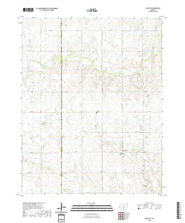
2022 Map of Saint Leo
USGS Topo · Published 2022About this map
Saint Leo anchors this rural Kansas landscape near the border of Pratt and Kingman Counties. The area is defined by its agricultural layout, with a strict grid of roads such as SW 180 Ave and SE 80th St cutting across the undulating terrain. Watercourses like the N Fork Chikaskia River and Painter Cr provide the primary natural breaks in the section lines. Local history is centered around the Saint Leo Catholic Cem and the West Point Cem, reflecting the early settlement patterns and community foundations of this prairie region. The prevalence of named section roads, including Salt Marsh Rd, highlights the importance of transportation and land division in the region's development.
Find a feature on this map
34 named features on this map. Tap any name to fly to it.
Don’t see what you’re looking for? This feature index may not catch every label — zoom into the map to look around manually.
Map Details
Editions of this 2022 Saint Leo Map
This is the sole edition of this map. No revisions or reprints were ever made.
Other maps of this area

1889 · Anthony
USGS Topo · 1:125,000

1891 · Medicine Lodge
USGS Topo · 1:125,000

1891 · Anthony
USGS Topo · 1:125,000

1892 · Kingman
USGS Topo · 1:125,000

1892 · Pratt
USGS Topo · 1:125,000

1893 · Medicine Lodge
USGS Topo · 1:125,000

1894 · Kingman
USGS Topo · 1:125,000

1894 · Pratt
USGS Topo · 1:125,000

1955 · Pratt
USGS Topo · 1:250,000

1959 · Pratt
USGS Topo · 1:250,000