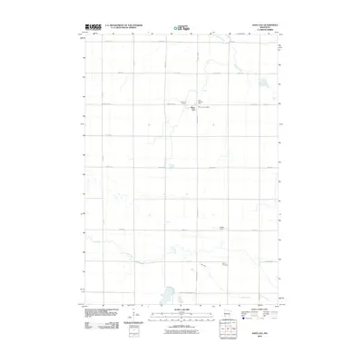
2010 Map of Saint Leo
USGS Topo · Published 2010About this map
Saint Leo anchors this landscape of the upper Midwest, situated amidst a precise grid of rural routes like County Hwy-3 and County Hwy-11. The area's settlement history is preserved through localized landmarks such as the Saint Leo Post Office and Saint Leo Cemetery, while the more secluded Burton Cemetery sits further south near the winding path of Mud Creek. The geography is defined by these meandering waterways, including Spring Creek in the northeast, which cut through the agricultural sections and break the symmetry of the section lines. This 2010 survey illustrates a quiet, well-ordered farming community where small-scale infrastructure like Kochs Field and the boundary-marking Lyon Yellow Medicine Rd represent the intersection of local life and regional transport.
Find a feature on this map
22 named features on this map. Tap any name to fly to it.
Don’t see what you’re looking for? This feature index may not catch every label — zoom into the map to look around manually.
Map Details
Editions of this 2010 Saint Leo Map
This is the sole edition of this map. No revisions or reprints were ever made.
Other maps of this area

1953 · Watertown
USGS Topo · 1:250,000

1953 · New Ulm
USGS Topo · 1:250,000

1957 · New Ulm
USGS Topo · 1:250,000

1958 · New Ulm
USGS Topo · 1:250,000

1958 · Watertown
USGS Topo · 1:250,000

1965 · Boyd
USGS Topo · 1:24,000

1967 · New Ulm
USGS Topo · 1:250,000

1967 · Dawson SW
USGS Topo · 1:24,000

1967 · Minneota
USGS Topo · 1:24,000

1967 · Porter
USGS Topo · 1:24,000