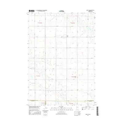
2016 Map of Saint Leo
USGS Topo · Published 2016About this map
Saint Leo serves as the central hub of this agricultural landscape in Yellow Medicine County, characterized by a meticulous grid of township roads and section lines. The township structure is well-defined by boundaries such as t115n r43w and t114n r44w, illustrating the organized land division of western Minnesota. Beyond the residential cluster, the Saint Leo Cem and Burton Cem provide critical touchpoints for genealogists researching early regional families.
Find a feature on this map
46 named features on this map. Tap any name to fly to it.
Don’t see what you’re looking for? This feature index may not catch every label — zoom into the map to look around manually.
Map Details
Editions of this 2016 Saint Leo Map
This is the sole edition of this map. No revisions or reprints were ever made.
Other maps of this area

1953 · Watertown
USGS Topo · 1:250,000

1953 · New Ulm
USGS Topo · 1:250,000

1957 · New Ulm
USGS Topo · 1:250,000

1958 · New Ulm
USGS Topo · 1:250,000

1958 · Watertown
USGS Topo · 1:250,000

1965 · Boyd
USGS Topo · 1:24,000

1967 · New Ulm
USGS Topo · 1:250,000

1967 · Dawson SW
USGS Topo · 1:24,000

1967 · Minneota
USGS Topo · 1:24,000

1967 · Porter
USGS Topo · 1:24,000