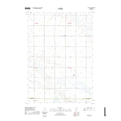
2019 Map of Saint Leo
USGS Topo · Published 2019About this map
St. Leo serves as the primary hub for this agricultural portion of Yellow Medicine County, defined by a grid of rural section roads and the winding paths of Mud Cr and Spring Cr. This landscape is marked by the distinct transition from the cultivated uplands down to the wetland environments of Congers Marsh and the scattered prairie potholes that dot the terrain. For those researching local family history, the map preserves the locations of Saint Leo Cem and Burton Cem, which sit as quiet landmarks among the fields. Unique local features such as Koch's Personal Field and Lanners Lake illustrate the private land use patterns typical of southwestern Minnesota. The intersection of three counties—Yellow Medicine, Lincoln, and Lyon—meets at the southern edge, highlighting the regional importance of this rural township at the close of the 2010s.
Find a feature on this map
44 named features on this map. Tap any name to fly to it.
Don’t see what you’re looking for? This feature index may not catch every label — zoom into the map to look around manually.
Map Details
Editions of this 2019 Saint Leo Map
This is the sole edition of this map. No revisions or reprints were ever made.
Other maps of this area

1953 · Watertown
USGS Topo · 1:250,000

1953 · New Ulm
USGS Topo · 1:250,000

1957 · New Ulm
USGS Topo · 1:250,000

1958 · New Ulm
USGS Topo · 1:250,000

1958 · Watertown
USGS Topo · 1:250,000

1965 · Boyd
USGS Topo · 1:24,000

1967 · New Ulm
USGS Topo · 1:250,000

1967 · Dawson SW
USGS Topo · 1:24,000

1967 · Minneota
USGS Topo · 1:24,000

1967 · Porter
USGS Topo · 1:24,000