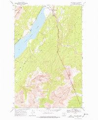
1968 Map of Saint Mary
USGS Topo · Published 1978About this map
Saint Mary Lake dominates the center of this landscape, serving as a geographic anchor where the mountainous peaks of Glacier National Park meet the eastern plains. The settlement of Saint Mary sits at the lake's northern outlet, acting as a gateway defined by the Entrance Sta, Visitor Center, and a Ranger Sta. This 1968 field-checked survey highlights the critical infrastructure of the era, specifically the Going To The Sun Road and Glacier Route One, which facilitated the growing mid-century tourism into the Montana Rockies.
Find a feature on this map
23 named features on this map. Tap any name to fly to it.
Don’t see what you’re looking for? This feature index may not catch every label — zoom into the map to look around manually.
Map Details
Editions of this 1968 Saint Mary Map
3 editions found
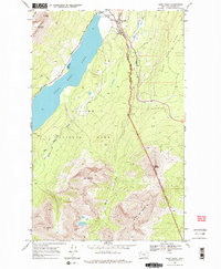
Other maps of this area

1901 · Browning
USGS Topo · 1:125,000

1903 · Browning
USGS Topo · 1:125,000

1904 · Chief Mountain
USGS Topo · 1:125,000

1938 · Chief Mountain
USGS Topo · 1:125,000

1960 · Cut Bank
USGS Topo · 1:250,000

1963 · Cut Bank
USGS Topo · 1:250,000

1964 · Cut Bank
USGS Topo · 1:250,000

1968 · Saint Mary
USGS Topo · 1:24,000

1968 · Babb
USGS Topo · 1:24,000

1968 · Josephine
USGS Topo · 1:24,000