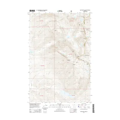
2014 Map of Saint Marys Lake
USGS Topo · Published 2014About this map
Saint Marys Lake and the high peaks of the Flathead National Forest dominate this high-elevation landscape along the boundary of Lake and Missoula counties. The map records a complex glacial drainage system where the N Fork Mission Cr and Middle Fork Mission Cr descend through dramatic drops marked by Mission Falls and Elizabeth Falls. The geography is defined by prominent ridges and seasonal ice, including the Mountaineer Glacier, Sunrise Glacier, and Fissure Glacier, which feed a network of alpine basins such as Lucifer Lake, Picture Lake, and Lake of the Clouds. Stretching across the northeastern corner, The Garden Wall serves as a massive natural barrier, while peaks like Kakashe Mtn and West Saint Marys Peak provide significant landmarks for navigation within the wilderness. To the west, the water is managed at the Mission Reservoir, showing the intersection of natural runoff and localized water storage.
Find a feature on this map
52 named features on this map. Tap any name to fly to it.
Don’t see what you’re looking for? This feature index may not catch every label — zoom into the map to look around manually.
Map Details
Editions of this 2014 Saint Marys Lake Map
This is the sole edition of this map. No revisions or reprints were ever made.
Other maps of this area

1921 · Elbow Lake
USGS Topo · 1:125,000

1955 · Choteau
USGS Topo · 1:250,000

1956 · Wallace
USGS Topo · 1:250,000

1957 · Choteau
USGS Topo · 1:250,000

1958 · Choteau
USGS Topo · 1:250,000

1959 · Arlee
USGS Topo · 1:62,500

1960 · Wallace
USGS Topo · 1:250,000

1962 · Choteau
USGS Topo · 1:250,000

1964 · Fort Connah
USGS Topo · 1:24,000

1964 · Saint Ignatius
USGS Topo · 1:24,000