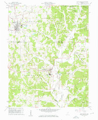
1960 Map of Saint Meinrad
USGS Topo · Published 1962About this map
The Saint Meinrad Seminary and the prominent Convent of the Immaculate Conception anchor this cultural landscape in southern Indiana, reflecting a deep tradition of religious education and communal life. Published in the early 1960s, the map reveals a terrain where spiritual landmarks like the Monte Cassino Shrine and St Josephs Shrine sit alongside the active extractive industry of numerous Strip Mine operations and Quarry sites. The jagged Old Treaty Boundary cuts across the center, a relic of early 19th-century land divisions that still influenced property lines and road placements well into the modern era. Much of the northeast is preserved within the Ferdinand State Forest, while the rest of the quadrangle is defined by a dense network of creek valleys, including Blackhawk Creek and the Anderson River, which historically dictated the placement of small settlements like Adyeville.
Find a feature on this map
66 named features on this map. Tap any name to fly to it.
Don’t see what you’re looking for? This feature index may not catch every label — zoom into the map to look around manually.
Map Details
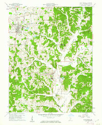
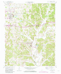
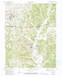
Editions of this 1960 Saint Meinrad Map
4 editions found
Other maps of this area

1900 · St Meinrad
USGS Topo · 1:62,500

1903 · St. Meinrad
USGS Topo · 1:62,500

1954 · Huntingburg
USGS Topo · 1:24,000

1955 · Saint Anthony
USGS Topo · 1:24,000

1956 · Vincennes
USGS Topo · 1:250,000

1957 · Vincennes
USGS Topo · 1:250,000

1957 · Birdseye
USGS Topo · 1:24,000
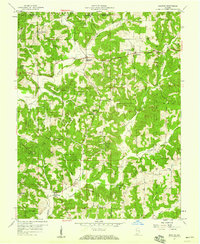
1957 · Bristow
USGS Topo · 1:24,000

1958 · Vincennes
USGS Topo · 1:250,000
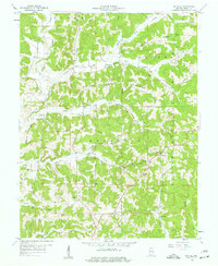
1958 · Gatchel
USGS Topo · 1:24,000