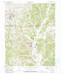
1960 Map of Saint Meinrad
USGS Topo · Published 1981About this map
Saint Meinrad and Ferdinand anchor this 1960 survey of the tri-county borderlands where Spencer, Perry, and Dubois counties meet. The map reveals a landscape defined by significant Catholic institutional sites, most notably the St Meinrad Seminary and the Convent of the Immaculate Conception. Smaller devotional landmarks like the Monte Casino Shrine and St Josephs Shrine are situated among the hills above the Anderson River.
Find a feature on this map
59 named features on this map. Tap any name to fly to it.
Don’t see what you’re looking for? This feature index may not catch every label — zoom into the map to look around manually.
Map Details
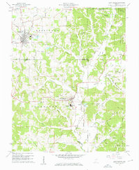
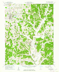
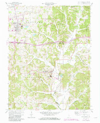
Editions of this 1960 Saint Meinrad Map
4 editions found
Other maps of this area

1900 · St Meinrad
USGS Topo · 1:62,500

1903 · St. Meinrad
USGS Topo · 1:62,500

1954 · Huntingburg
USGS Topo · 1:24,000

1955 · Saint Anthony
USGS Topo · 1:24,000

1956 · Vincennes
USGS Topo · 1:250,000

1957 · Vincennes
USGS Topo · 1:250,000

1957 · Birdseye
USGS Topo · 1:24,000
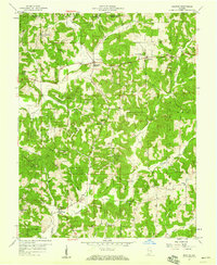
1957 · Bristow
USGS Topo · 1:24,000

1958 · Vincennes
USGS Topo · 1:250,000
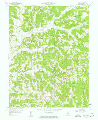
1958 · Gatchel
USGS Topo · 1:24,000