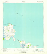
1952 Map of Saint Michael C-1
USGS Topo · Published 1958About this map
Stuart Island and the western tip of Saint Michael Island dominate this coastal survey of the Norton Sound region. The topography, derived from 1951 aerial photography, reveals a landscape defined by volcanic peaks and tidal waterways, including the prominent Stuart Mountain and the narrow Stuart Island Canal separating the island from the mainland. The settlement of Stebbins sits at the edge of Stephens Pass, serving as a primary point of human activity alongside smaller clusters of Cabins further south.
Find a feature on this map
19 named features on this map. Tap any name to fly to it.
Don’t see what you’re looking for? This feature index may not catch every label — zoom into the map to look around manually.
Map Details
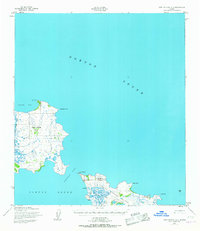
Editions of this 1952 Saint Michael C-1 Map
2 editions found
Other maps of this area

1951 · Unalakleet
USGS Topo · 1:250,000

1951 · St Michael
USGS Topo · 1:250,000
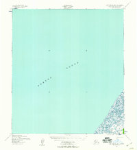
1952 · Saint Michael B-2
USGS Topo · 1:63,360
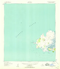
1952 · Saint Michael C-2
USGS Topo · 1:63,360

1952 · Saint Michael B-1
USGS Topo · 1:63,360

1952 · Unalakleet B-6
USGS Topo · 1:63,360

1952 · St Michael
USGS Topo · 1:250,000

1952 · Unalakleet
USGS Topo · 1:250,000

1964 · St. Michael
USGS Topo · 1:250,000

1964 · Unalakleet
USGS Topo · 1:250,000