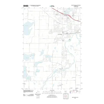
2010 Map of Saint Michael
USGS Topo · Published 2010About this map
Saint Michael and Albertville are the primary centers of activity in this Wright County landscape, which is defined by the winding course of the Crow River. The river forms a natural boundary and serves as the location for infrastructure like the Welter Brothers Dam. To the south, the community of Hanover sits near the riverbanks, marking a transition toward the rural outskirts like Burschville. This 2010 survey illustrates a region where suburban development increasingly interacts with a glaciated landscape of numerous kettle lakes, including Pelican Lake, Beebe Lake, and Lake Charlotte. Local history and genealogy are well-represented by several established burying grounds, such as Saint Albert Cemetery and the Salem Lutheran Church Cemetery, alongside vital civil nodes like the Hanover Post Office and the Johnson Airport.
Find a feature on this map
57 named features on this map. Tap any name to fly to it.
Don’t see what you’re looking for? This feature index may not catch every label — zoom into the map to look around manually.
Map Details
Editions of this 2010 Saint Michael Map
This is the sole edition of this map. No revisions or reprints were ever made.
Other maps of this area

1909 · Rockford
USGS Topo · 1:62,500

1953 · Stillwater
USGS Topo · 1:250,000

1955 · Stillwater
USGS Topo · 1:250,000

1958 · Stillwater
USGS Topo · 1:250,000

1958 · Rockford
USGS Topo · 1:62,500

1958 · Buffalo
USGS Topo · 1:62,500

1961 · Big Lake
USGS Topo · 1:24,000

1961 · Elk River
USGS Topo · 1:24,000

1961 · Monticello
USGS Topo · 1:24,000

1961 · Monticello
USGS Topo · 1:62,500