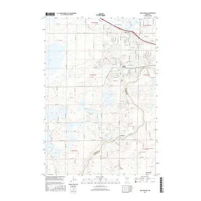
2016 Map of Saint Michael
USGS Topo · Published 2016About this map
Albertville and Saint Michael anchor this 2016 study of the suburbanizing landscape northwest of the Twin Cities. The area is defined by the winding course of the Crow River and a dense concentration of glacial lakes, including Pelican Lake, Beebe Lake, and Lake Charlotte. The map documents a transition from agricultural roots to modern commercial development, exemplified by the Outlets at Albertville situated near the intersection of County Highway 37. Genealogists will find significant value in the documentation of local burial sites such as the Saint Michael Cemetery, Saint Albert Cemetery, and the Salem Lutheran Church Cemetery near Burschville. The detailed road network, from the residential streets of Hanover to the rural County Road 37 NE, shows the expansion of these communities into the surrounding Wright and Hennepin County countryside.
Find a feature on this map
90 named features on this map. Tap any name to fly to it.
Don’t see what you’re looking for? This feature index may not catch every label — zoom into the map to look around manually.
Map Details
Editions of this 2016 Saint Michael Map
This is the sole edition of this map. No revisions or reprints were ever made.
Other maps of this area

1909 · Rockford
USGS Topo · 1:62,500

1953 · Stillwater
USGS Topo · 1:250,000

1955 · Stillwater
USGS Topo · 1:250,000

1958 · Stillwater
USGS Topo · 1:250,000

1958 · Rockford
USGS Topo · 1:62,500

1958 · Buffalo
USGS Topo · 1:62,500

1961 · Big Lake
USGS Topo · 1:24,000

1961 · Elk River
USGS Topo · 1:24,000

1961 · Monticello
USGS Topo · 1:24,000

1961 · Monticello
USGS Topo · 1:62,500