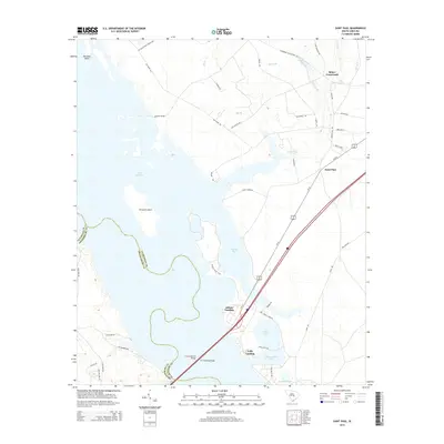
2014 Map of Saint Paul
USGS Topo · Published 2014About this map
Lake Marion dominates this central South Carolina landscape, creating a complex shoreline of bays, ponds, and islands where Clarendon and Orangeburg counties meet. Modern infrastructure bisects the water at the southern end, where the Francis Marion Bridge and W J Gooding Bridge carry traffic across the reservoir. The topography is defined by significant wetlands and managed water bodies like Cantey Bay, Dingle Pond, and Polly-Cantey Pond, which are accessible via terrestrial routes such as the Wright's Bluff Trail and Dingle Pond Trail.
Find a feature on this map
52 named features on this map. Tap any name to fly to it.
Don’t see what you’re looking for? This feature index may not catch every label — zoom into the map to look around manually.
Map Details
Editions of this 2014 Saint Paul Map
This is the sole edition of this map. No revisions or reprints were ever made.
Other maps of this area

1920 · Eutawville
USGS Topo · 1:48,000

1920 · Bowman
USGS Topo · 1:48,000

1921 · Bowman
USGS Topo · 1:62,500

1921 · Eutawville
USGS Topo · 1:62,500

1943 · Bowman
USGS Topo · 1:62,500

1943 · Orangeburg
USGS Topo · 1:125,000

1943 · Eutawville
USGS Topo · 1:62,500

1946 · Elloree
USGS Topo · 1:62,500

1954 · Augusta
USGS Topo · 1:250,000

1957 · Augusta
USGS Topo · 1:250,000