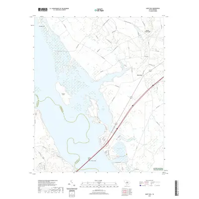
2020 Map of Saint Paul
USGS Topo · Published 2020About this map
Lake Marion dominates the western landscape of this South Carolina quadrangle, its broad waters punctuated by Persanti Island and the jagged shoreline of Paradise Point. The transition from the lake into the protected wetlands of the Santee National Wildlife Refuge defines the southern portion of the sheet, where complex hydrography like Cantey Bay and Doctor Bay create a labyrinthine network of water and swamp. Modern transportation infrastructure is anchored by the dual spans of the Francis Marion Bridge and the W J Gooding Bridge, which carry travelers across the expansive reservoir.
Find a feature on this map
63 named features on this map. Tap any name to fly to it.
Don’t see what you’re looking for? This feature index may not catch every label — zoom into the map to look around manually.
Map Details
Editions of this 2020 Saint Paul Map
This is the sole edition of this map. No revisions or reprints were ever made.
Other maps of this area

1920 · Eutawville
USGS Topo · 1:48,000

1920 · Bowman
USGS Topo · 1:48,000

1921 · Bowman
USGS Topo · 1:62,500

1921 · Eutawville
USGS Topo · 1:62,500

1943 · Bowman
USGS Topo · 1:62,500

1943 · Orangeburg
USGS Topo · 1:125,000

1943 · Eutawville
USGS Topo · 1:62,500

1946 · Elloree
USGS Topo · 1:62,500

1954 · Augusta
USGS Topo · 1:250,000

1957 · Augusta
USGS Topo · 1:250,000