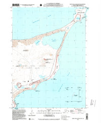
2001 Map of Saint Paul Island East
USGS Topo · Published 2002About this map
Saint Paul Island serves as a critical environmental and maritime hub in the Bering Sea, documented here during the Pribilof Islands Environmental Restoration Project. The eastern landscape is defined by its volcanic topography and vital wildlife habitats, including the expansive Northeast Point Rookery and Polovina Rookery. This survey details the integration of indigenous Unangan place names alongside English labels, such as Big Lake and Polovina Hill, reflecting the island's deep cultural heritage. Human activity is concentrated around the St Paul Island Airport and various federal facilities, including the U S Coast Guard Reservation and a National Weather Service station. The mapping of a Debris Site and several quarries highlights the island's mid-century and modern industrial footprint amidst its sand dunes and rocky shores.
Find a feature on this map
39 named features on this map. Tap any name to fly to it.
Don’t see what you’re looking for? This feature index may not catch every label — zoom into the map to look around manually.
Map Details
Editions of this 2001 Saint Paul Island East Map
This is the sole edition of this map. No revisions or reprints were ever made.
Other maps of this area
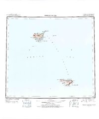
1948 · Pribilof Islands
USGS Topo · 1:250,000
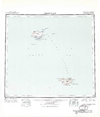
1949 · Pribilof Islands
USGS Topo · 1:250,000
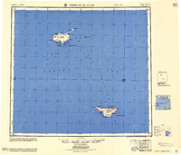
1958 · Pribilof Islands
USGS Topo · 1:250,000
1969 · Pribilof Islands
USGS Topo · 1:250,000
2001 · Saint Paul Island West
USGS Topo · 1:25,000
2020 · Pribilof Islands D-4 SW
USGS Topo · 1:25,000
2020 · Pribilof Islands D-4 SE
USGS Topo · 1:25,000
2020 · Pribilof Islands C-4 NE
USGS Topo · 1:25,000
2020 · Pribilof Islands C-4 NW
USGS Topo · 1:25,000