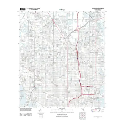
2012 Map of Saint Petersburg
USGS Topo · Published 2012About this map
Tampa Bay and Boca Ciega Bay frame the urban density of this coastal Florida landscape, where extensive residential grids meet a complex network of internal waterways and preserved green spaces. The map reveals a high concentration of memorial sites and community anchors, including Memorial Park Cem, Lincoln Cem, and the Royal Palm of Saint Petersburg. The downtown waterfront is defined by institutional and recreational landmarks such as the University of South Florida - Saint Petersburg Campus, the Al Lang Stadium, and the bustling Port of Saint Petersburg. This 2012 edition documents the developed infrastructure of the peninsula, from the aviation facilities at Albert Whitted Airport to the intricate finger islands of South Causeway Isles. Significant drainage and wildlife areas like Sawgrass Lake and Bear Creek persist amidst the thoroughfares of Gandy Blvd and Tyrone Blvd N.
Find a feature on this map
68 named features on this map. Tap any name to fly to it.
Don’t see what you’re looking for? This feature index may not catch every label — zoom into the map to look around manually.
Map Details
Editions of this 2012 Saint Petersburg Map
This is the sole edition of this map. No revisions or reprints were ever made.
Other maps of this area

1921 · Sand Key
USGS Topo · 1:62,500

1921 · Fort De Soto
USGS Topo · 1:62,500

1921 · St Petersburg
USGS Topo · 1:62,500

1942 · Cockroach Bay
USGS Topo · 1:31,680

1943 · St Petersburg
USGS Topo · 1:31,680

1943 · Gandy Bridge
USGS Topo · 1:31,680

1943 · Pass-A-Grille
USGS Topo · 1:31,680

1943 · Bay Pines
USGS Topo · 1:31,680

1943 · Safety Harbor
USGS Topo · 1:31,680

1943 · Port Tampa
USGS Topo · 1:31,680