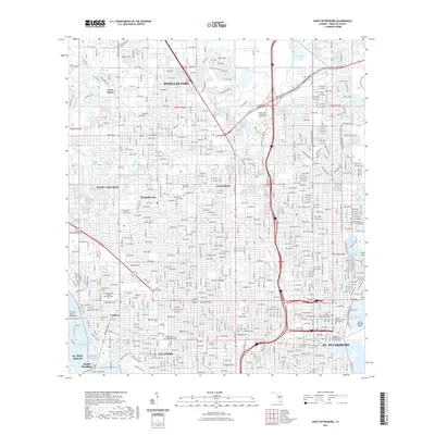
2021 Map of Saint Petersburg
USGS Topo · Published 2021About this map
St. Petersburg and its neighboring municipalities are meticulously detailed in this modern survey, which captures the dense urban grid of Pinellas County before the mid-century's most rapid transformations were completed. The map highlights the interplay between residential expansion and established civic landmarks, such as the Saint Petersburg Judicial Building and the University of South Florida St Petersburg campus along the edge of Tampa Bay. To the west, the older cores of Gulfport and Pasadena are visible, alongside the quiet memorial grounds of Memorial Park Cem and Garden of Peace Cem. The coastal landscape is defined by the proximity of Boca Ciega Bay and the specialized infrastructure of Albert Whitted Airport, revealing how the city has historically integrated its aviation and maritime identities within a growing metropolitan footprint.
Find a feature on this map
75 named features on this map. Tap any name to fly to it.
Don’t see what you’re looking for? This feature index may not catch every label — zoom into the map to look around manually.
Map Details
Editions of this 2021 Saint Petersburg Map
This is the sole edition of this map. No revisions or reprints were ever made.
Other maps of this area

1921 · Sand Key
USGS Topo · 1:62,500

1921 · Fort De Soto
USGS Topo · 1:62,500

1921 · St Petersburg
USGS Topo · 1:62,500

1942 · Cockroach Bay
USGS Topo · 1:31,680

1943 · St Petersburg
USGS Topo · 1:31,680

1943 · Gandy Bridge
USGS Topo · 1:31,680

1943 · Pass-A-Grille
USGS Topo · 1:31,680

1943 · Bay Pines
USGS Topo · 1:31,680

1943 · Safety Harbor
USGS Topo · 1:31,680

1943 · Port Tampa
USGS Topo · 1:31,680