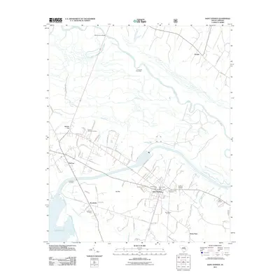
2011 Map of Saint Stephen
USGS Topo · Published 2011About this map
The Santee River winds across this coastal plain landscape, defining the northern boundary of a region where water and timber have long shaped local life. Near the southern edge of the sheet, the expansive waters of Lake Moultrie signify the massive hydrological changes of the mid-20th century, though the interior remains characterized by low-lying wetlands like Big Bay and Halfway Swamp. The town of Saint Stephen sits as the primary hub, where the Saint Stephen Post Office and Saint Stephen Golf Course anchor the community.
Find a feature on this map
78 named features on this map. Tap any name to fly to it.
Don’t see what you’re looking for? This feature index may not catch every label — zoom into the map to look around manually.
Map Details
Editions of this 2011 Saint Stephen Map
This is the sole edition of this map. No revisions or reprints were ever made.
Other maps of this area

1920 · Chicora
USGS Topo · 1:48,000

1920 · Manning
USGS Topo · 1:48,000

1921 · Chicora
USGS Topo · 1:62,500

1921 · Manning
USGS Topo · 1:62,500

1943 · Chicora
USGS Topo · 1:62,500

1943 · Bonneau
USGS Topo · 1:62,500

1944 · Manning
USGS Topo · 1:62,500

1946 · Kingstree
USGS Topo · 1:62,500

1949 · Georgetown
USGS Topo · 1:250,000

1954 · Augusta
USGS Topo · 1:250,000