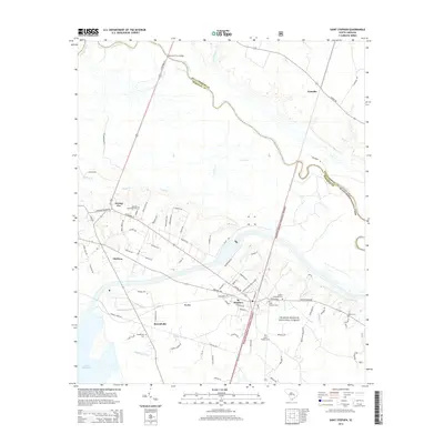
2014 Map of Saint Stephen
USGS Topo · Published 2014About this map
St. Stephen and the neighboring community of Russellville occupy a landscape defined by the drainage systems of the Santee River and the northwestern reaches of Lake Moultrie. This Lowcountry terrain is marked by expansive wetlands such as Big Bay, Walker Swamp, and Halfway Swamp, which illustrate the complex water management and natural drainage patterns of Berkeley County. The map reveals a high density of burial grounds including Oldfield Plantation Cem, Saint Stephens Cem, and Sunset Memorial Cem, which serve as significant markers for genealogical research in an area with deep agrarian roots.
Find a feature on this map
85 named features on this map. Tap any name to fly to it.
Don’t see what you’re looking for? This feature index may not catch every label — zoom into the map to look around manually.
Map Details
Editions of this 2014 Saint Stephen Map
This is the sole edition of this map. No revisions or reprints were ever made.
Other maps of this area

1920 · Chicora
USGS Topo · 1:48,000

1920 · Manning
USGS Topo · 1:48,000

1921 · Chicora
USGS Topo · 1:62,500

1921 · Manning
USGS Topo · 1:62,500

1943 · Chicora
USGS Topo · 1:62,500

1943 · Bonneau
USGS Topo · 1:62,500

1944 · Manning
USGS Topo · 1:62,500

1946 · Kingstree
USGS Topo · 1:62,500

1949 · Georgetown
USGS Topo · 1:250,000

1954 · Augusta
USGS Topo · 1:250,000