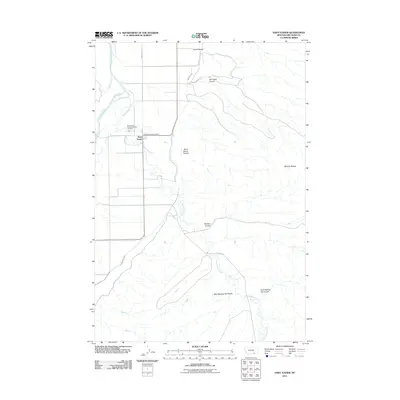
2011 Map of Saint Xavier
USGS Topo · Published 2011About this map
Saint Xavier serves as the focal point of this Big Horn County landscape, situated where the Big Horn Canal and Rotten Grass Creek meet the surrounding plains. The presence of the Saint Xavier Catholic Mission Cemetery and the Saint Xavier Post Office indicates the enduring social and spiritual importance of this settlement to the local community. The terrain is defined by a series of distinct geological drainages, such as Scott Coulee, Del Howe Coulee, and the curiously named Ox Yoke Coulee, which flow toward the Bighorn River on the western edge of the quadrangle.
Find a feature on this map
18 named features on this map. Tap any name to fly to it.
Don’t see what you’re looking for? This feature index may not catch every label — zoom into the map to look around manually.
Map Details
Editions of this 2011 Saint Xavier Map
This is the sole edition of this map. No revisions or reprints were ever made.
Other maps of this area

1894 · St. Xavier
USGS Topo · 1:125,000

1894 · Fort Custer
USGS Topo · 1:125,000

1901 · St. Xavier
USGS Topo · 1:125,000

1954 · Hardin
USGS Topo · 1:250,000

1957 · Hardin
USGS Topo · 1:250,000

1958 · Hardin
USGS Topo · 1:250,000

1960 · Schick Ranch
USGS Topo · 1:24,000

1960 · St Xavier
USGS Topo · 1:24,000

1960 · St Xavier NE
USGS Topo · 1:24,000

1960 · Mission Coulee
USGS Topo · 1:24,000