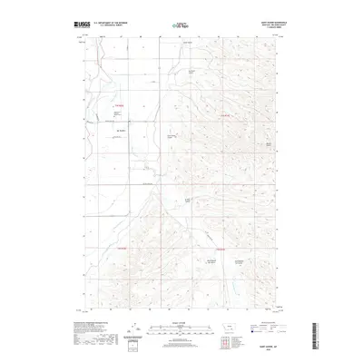
2020 Map of Saint Xavier
USGS Topo · Published 2020About this map
St. Xavier serves as the central hub of this Big Horn County landscape, where the Bighorn River and its accompanying Big Horn Canal define the irrigation and transport patterns of the region. The map documents a complex system of water management essential to the high plains, featuring the Soap Cr Ditch alongside numerous drainages such as Rotten Grass Cr and Beauvais Cr. Local history is anchored by the Saint Xavier Catholic Mission Cem, reflecting the area's deep-rooted missionary and tribal heritage. To the east, the terrain rises toward the distinctive Mission Buttes, while the surrounding land is dissected by numerous coulees, including Saint Xavier Coulee, Del Howe Coulee, and Ox Yoke Coulee. The road network, including the Pryor Cutoff and Good Luck Rd, provides a clear view of how these remote settlements remained connected across the rugged Big Horn valley.
Find a feature on this map
25 named features on this map. Tap any name to fly to it.
Don’t see what you’re looking for? This feature index may not catch every label — zoom into the map to look around manually.
Map Details
Editions of this 2020 Saint Xavier Map
This is the sole edition of this map. No revisions or reprints were ever made.
Other maps of this area

1894 · St. Xavier
USGS Topo · 1:125,000

1894 · Fort Custer
USGS Topo · 1:125,000

1901 · St. Xavier
USGS Topo · 1:125,000

1954 · Hardin
USGS Topo · 1:250,000

1957 · Hardin
USGS Topo · 1:250,000

1958 · Hardin
USGS Topo · 1:250,000

1960 · Schick Ranch
USGS Topo · 1:24,000

1960 · St Xavier
USGS Topo · 1:24,000

1960 · St Xavier NE
USGS Topo · 1:24,000

1960 · Mission Coulee
USGS Topo · 1:24,000